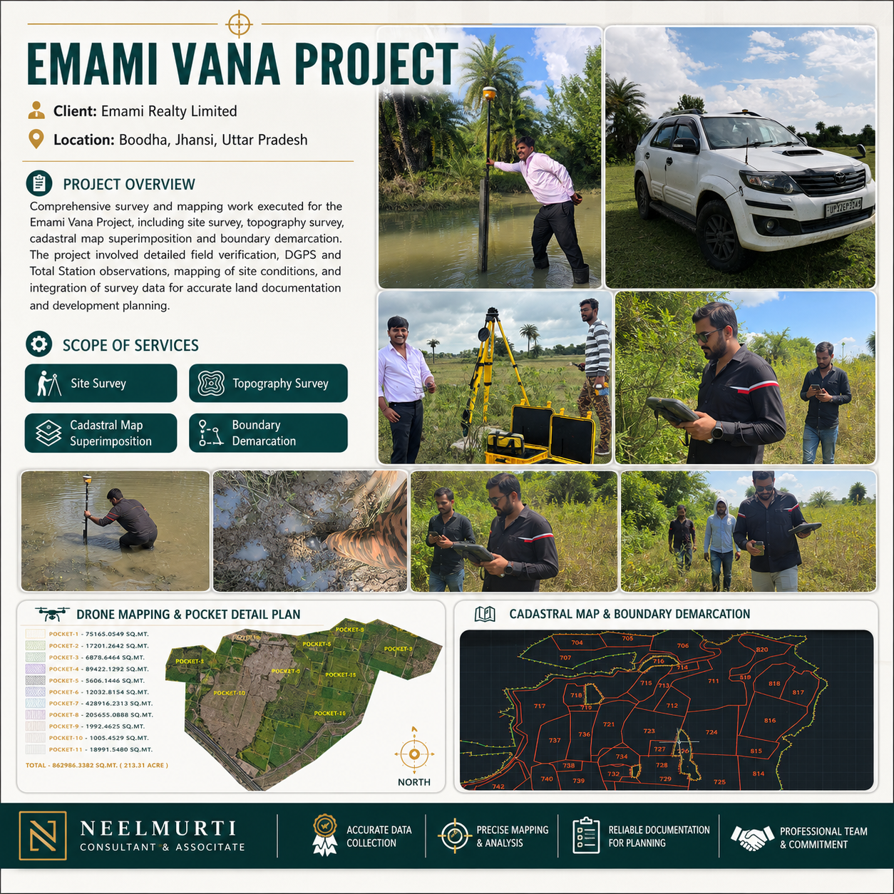
Emami Vana Project – Advanced Site Survey, Topography & Boundary Demarcation
Project Description
Project Name: Emami Vana Project
Client: Emami Realty Limited
Location: Boodha, Jhansi, Uttar Pradesh
Work Type: Site Survey, Topographical Survey, Cadastral Map Superimposition and Boundary Demarcation
Executed By: Neelmurti Consultant & Associate
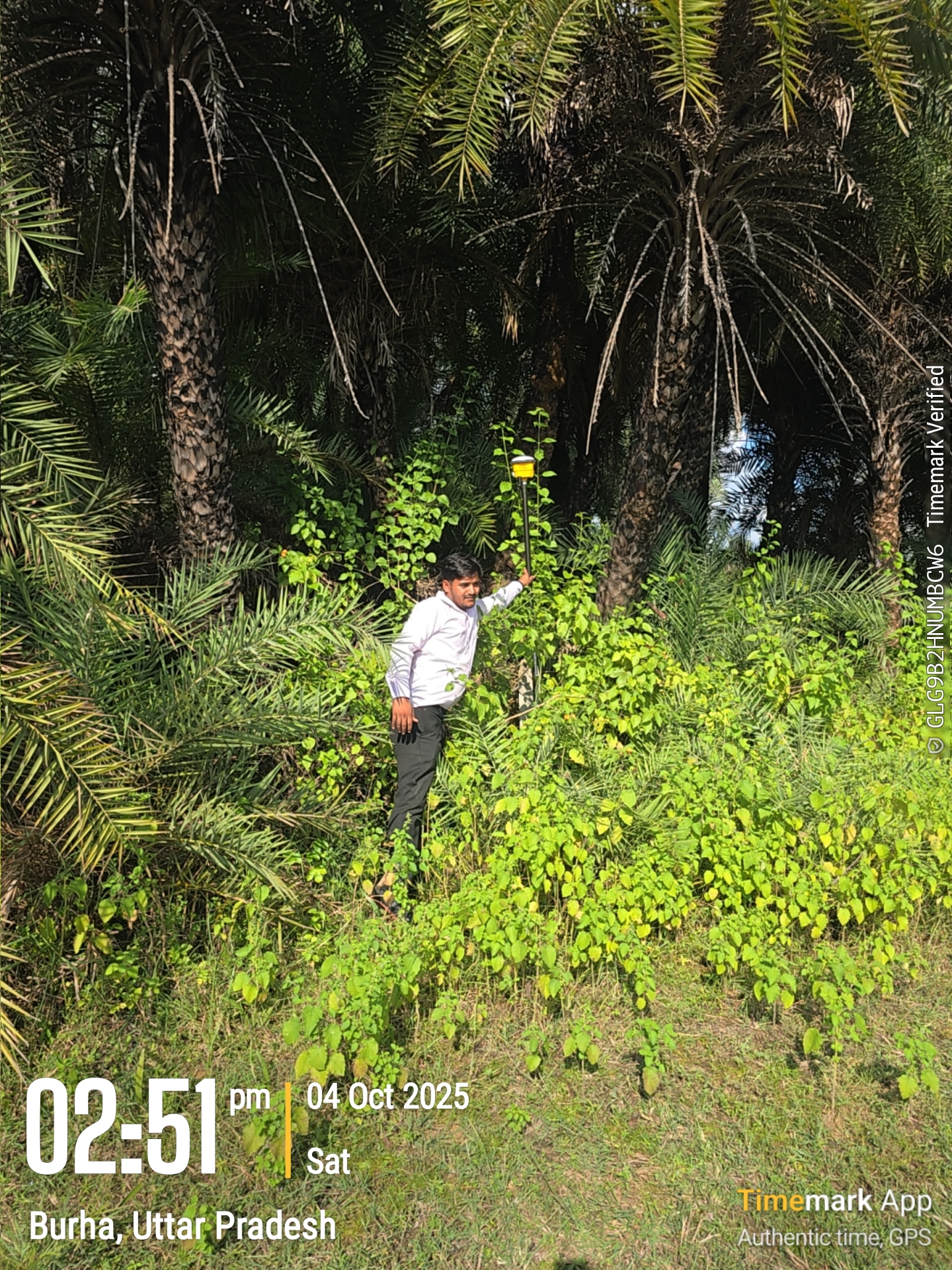
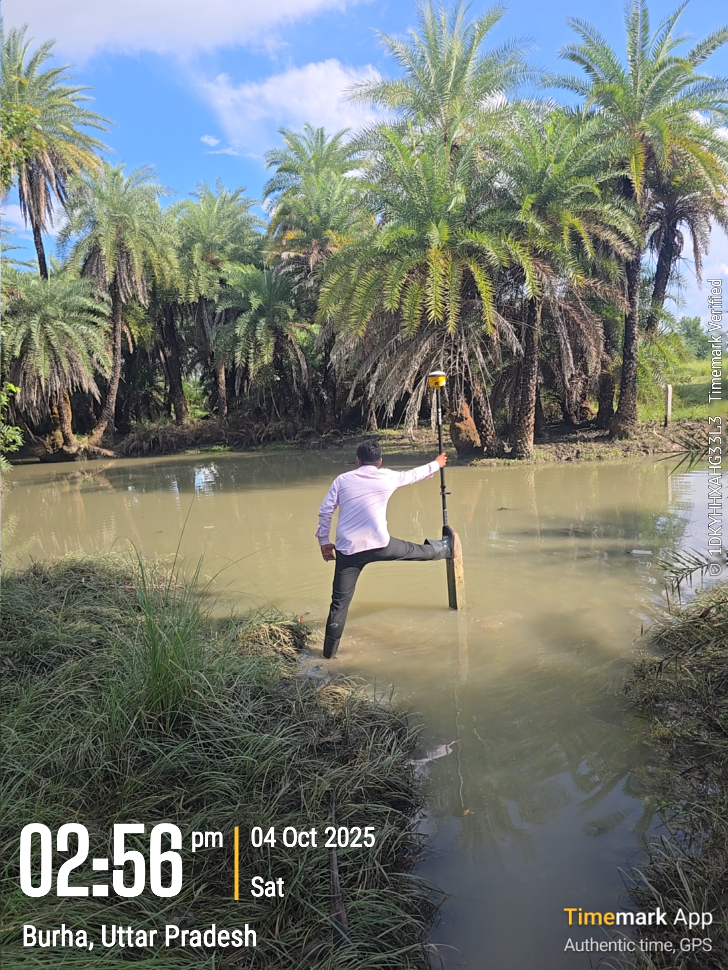
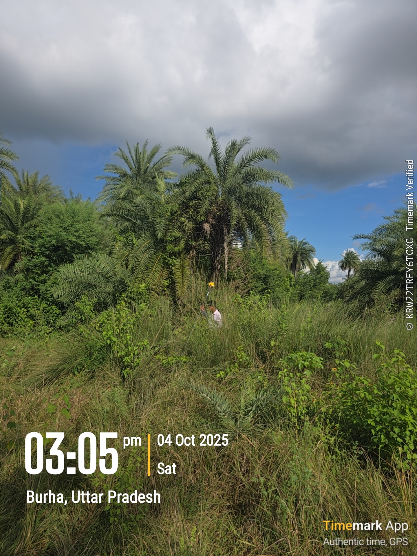
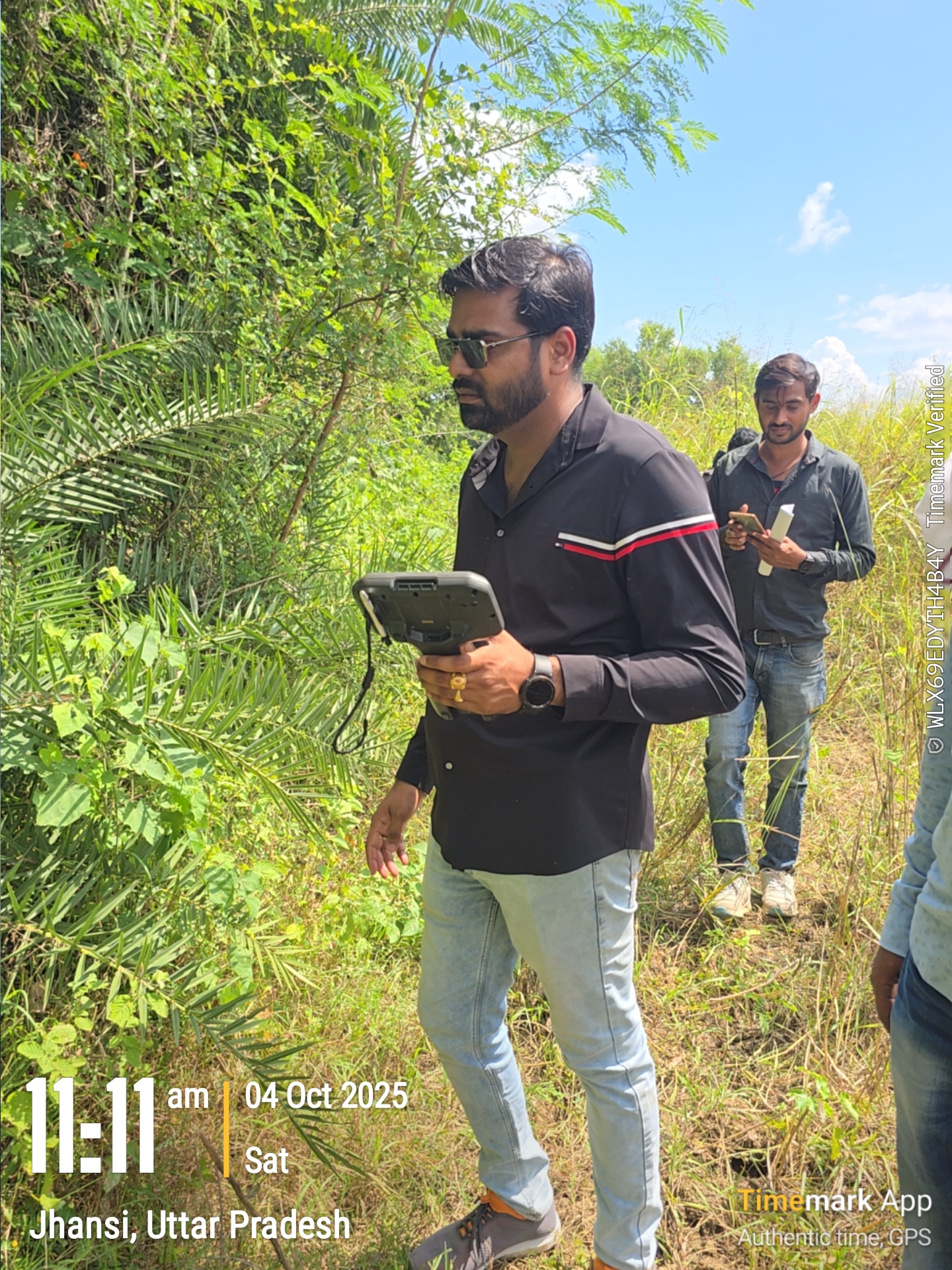
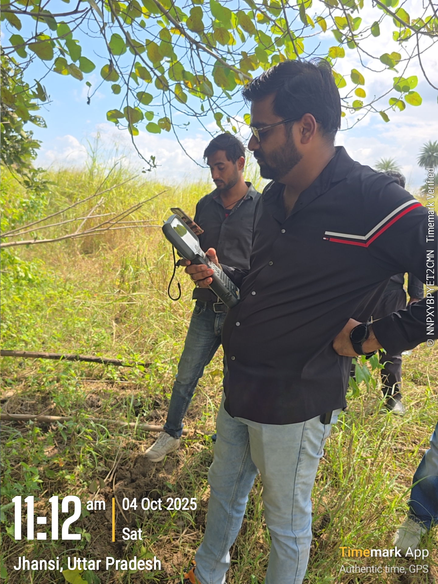
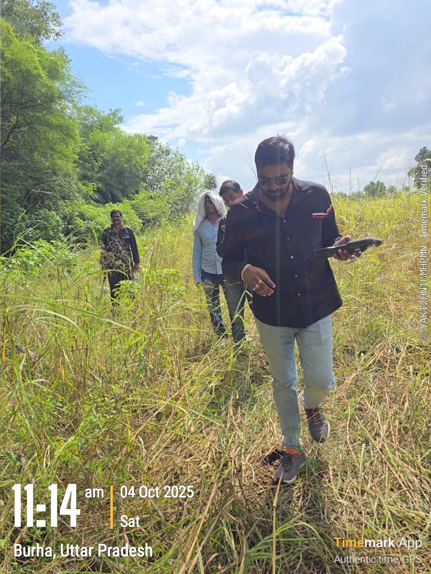
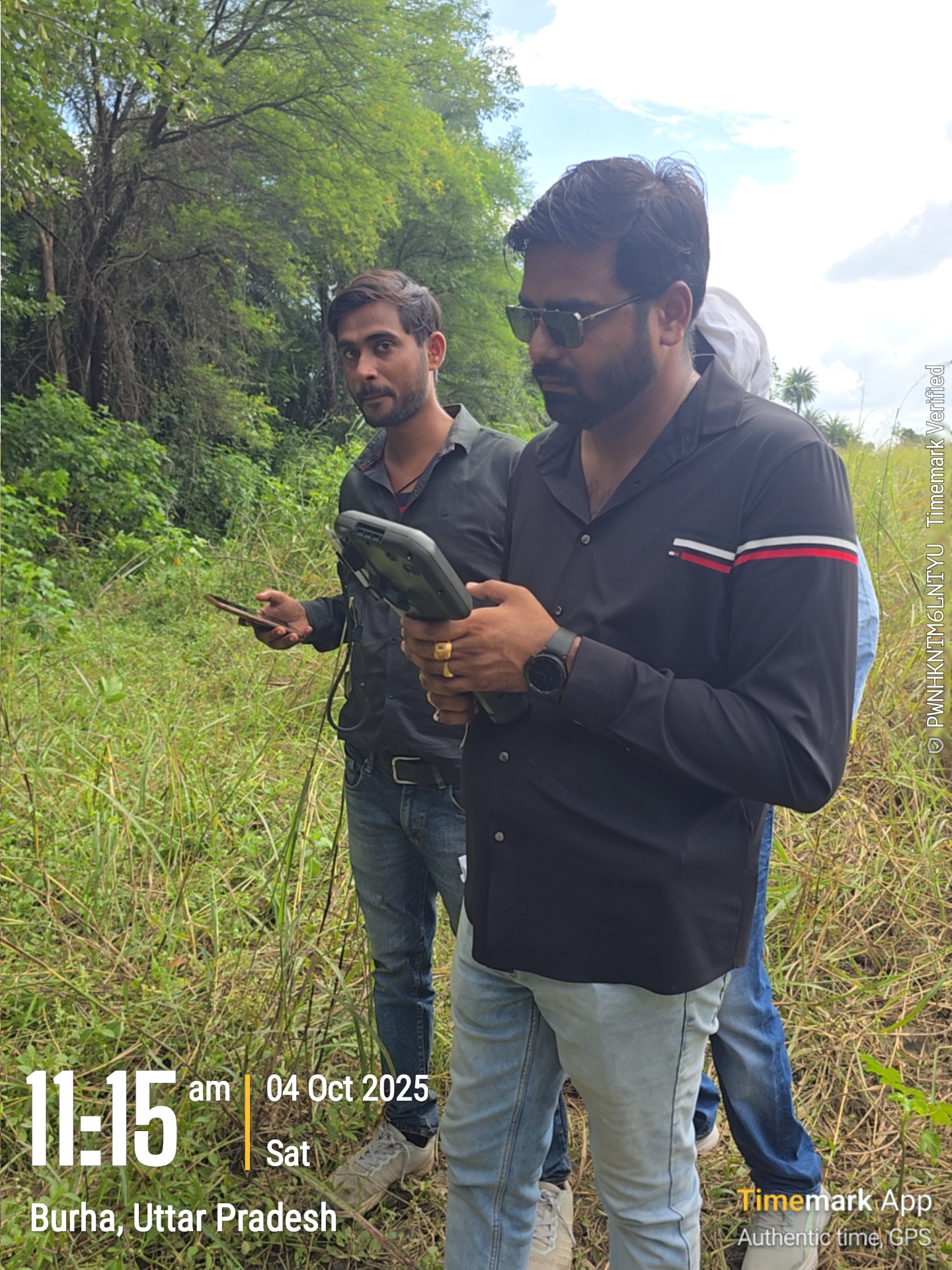
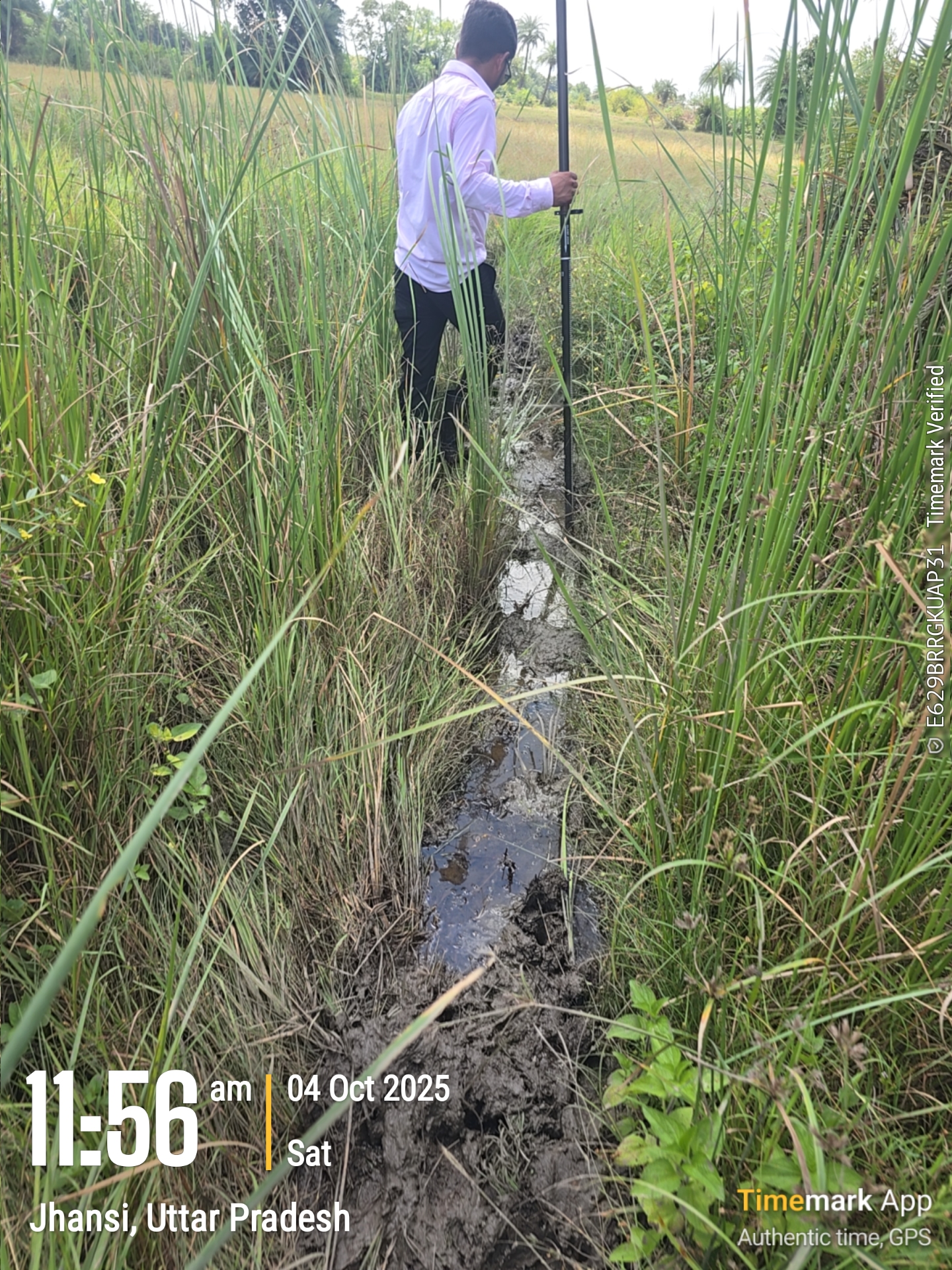
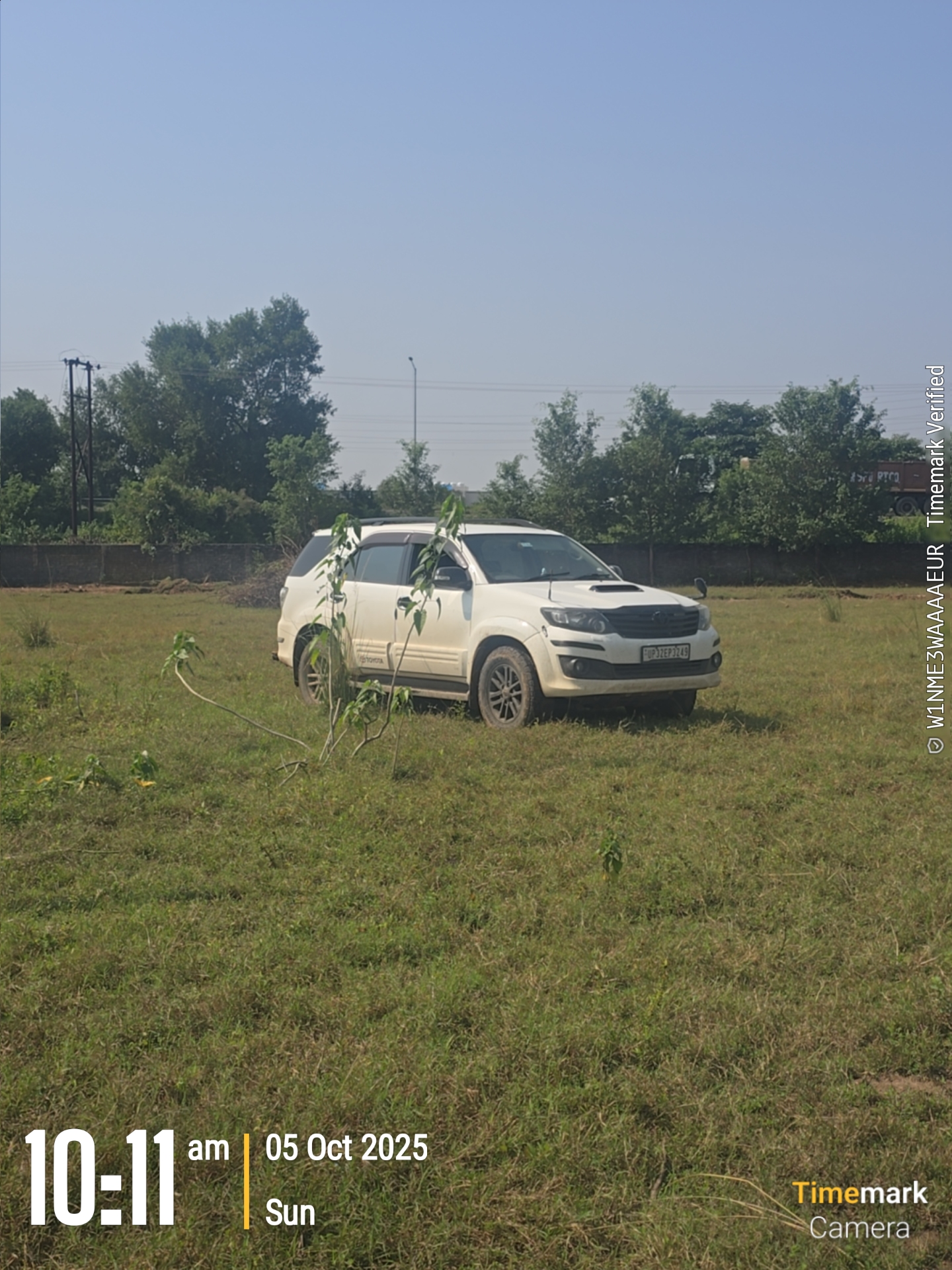
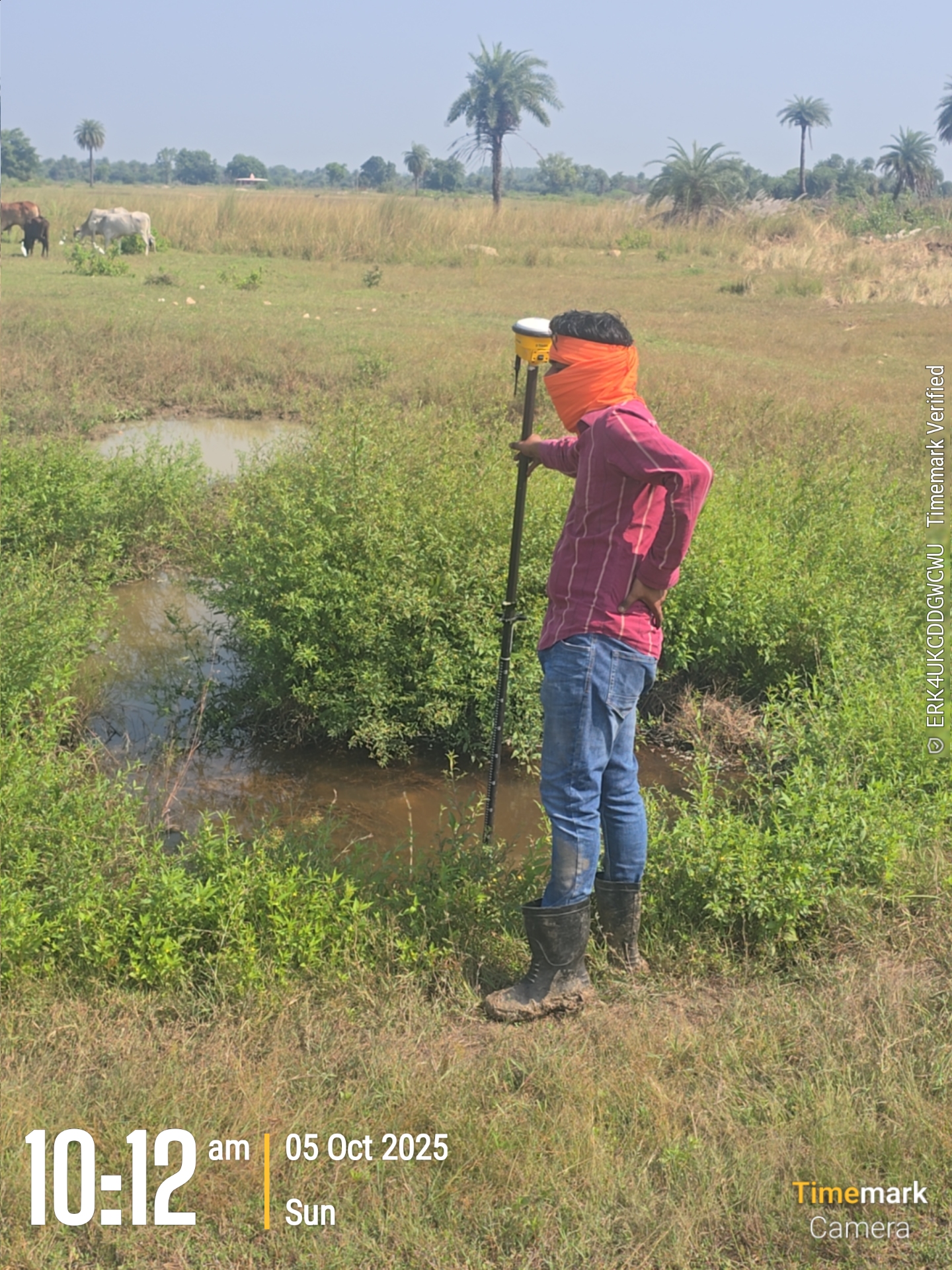
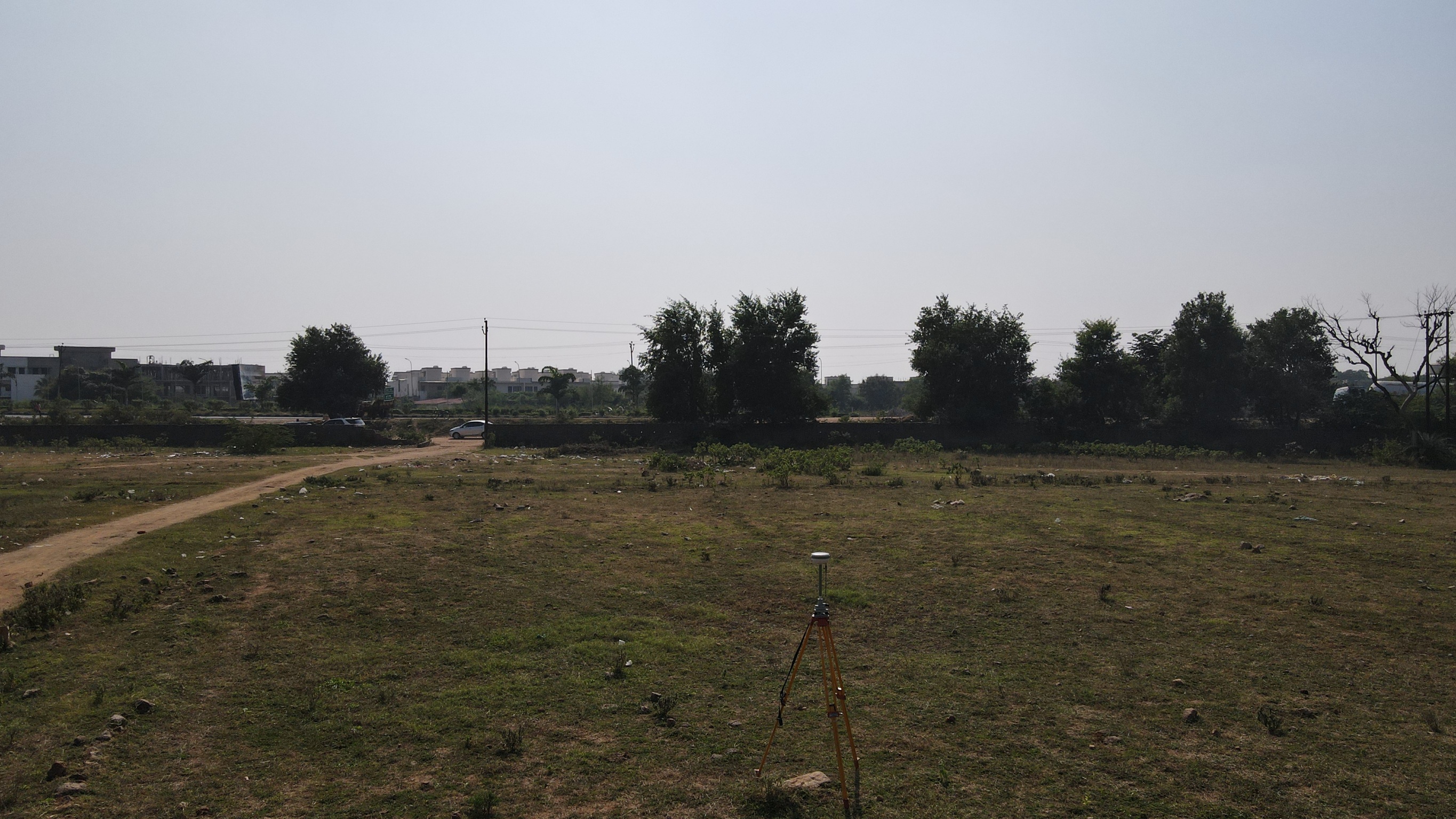
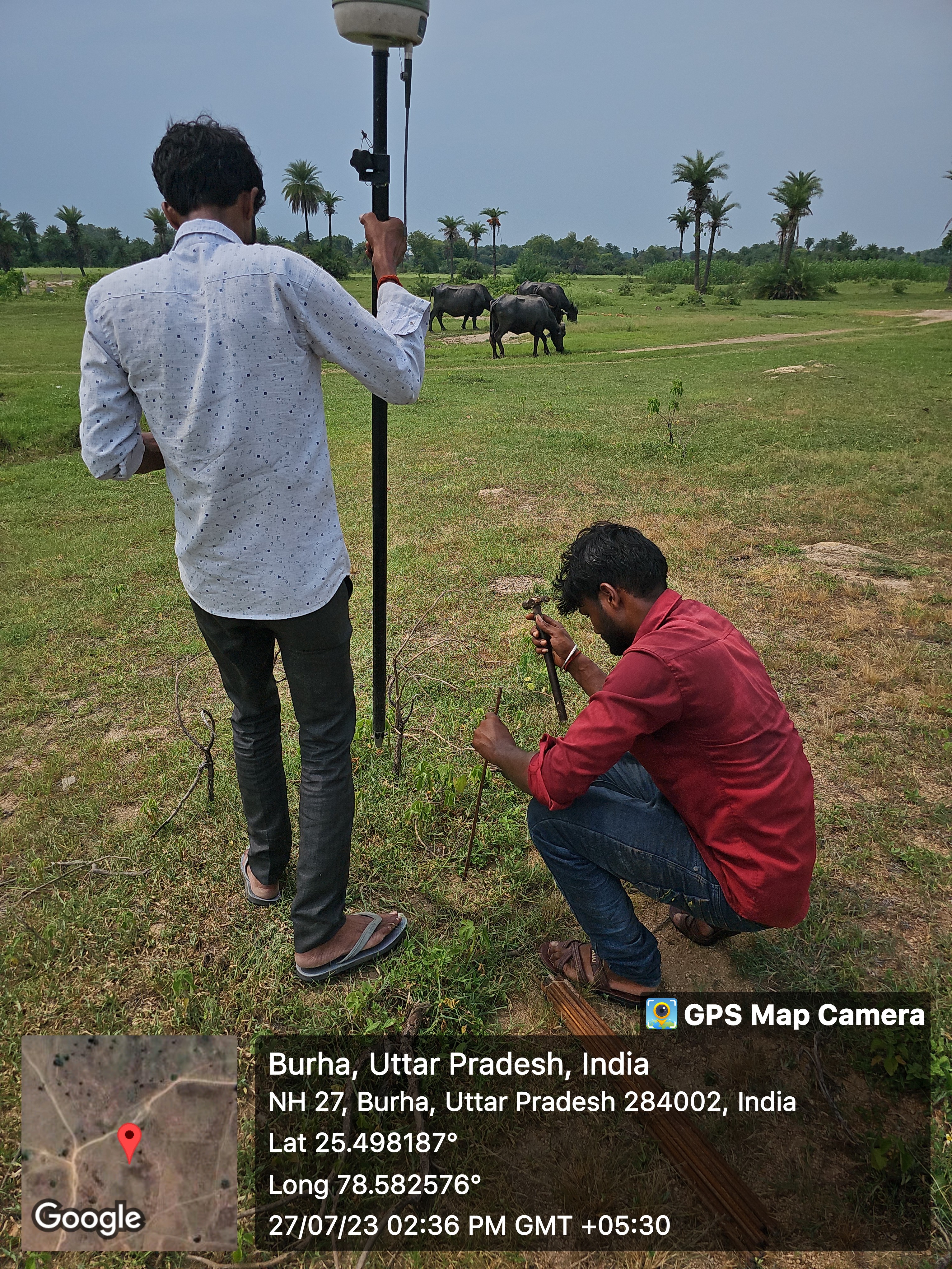
Neelmurti Consultant & Associate carried out a detailed land survey and mapping assignment for the Emami Vana Project located at Boodha, Jhansi, Uttar Pradesh. The work included site survey, topographical survey, cadastral map study, drone-based aerial mapping, DGPS control point establishment, Total Station survey, and boundary demarcation of the project land.
The survey was executed using advanced instruments such as DGPS, Total Station and Drone to ensure accurate coordinate data, ground levels, boundary verification and site mapping. The cadastral map was superimposed with the drone image and ground survey data to verify land parcels, site boundaries, existing features and field conditions.
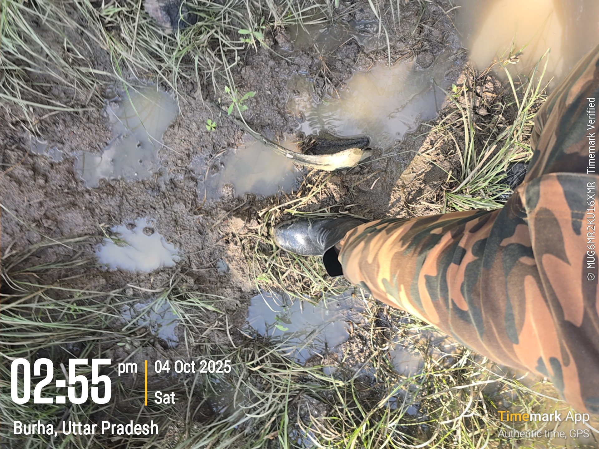
The project involved physical field verification, marking of boundary points, collection of ground control points, preparation of survey drawings, pocket-wise area analysis and technical documentation for planning and development purposes.
Scope of Work
Site Survey
Topographical Survey
Cadastral Map Superimposition
Boundary Demarcation
DGPS Control Point Establishment
Total Station Survey
Drone Aerial Mapping
Ground Level and Feature Survey
Pocket-wise Land Area Mapping
Site Verification and Technical Documentation
Technology Used
DGPS
Total Station
Drone Survey
AutoCAD
Civil 3D
GIS and Mapping Tools
Key Deliverables
Topographical Survey Drawing
Cadastral Map Superimposed Drawing
Boundary Demarcation Data
Pocket-wise Area Statement
Drone Image Mapping
Coordinate and Level Data
Site Plan and Survey Drawing
Digital CAD Files
Survey Report and Documentation