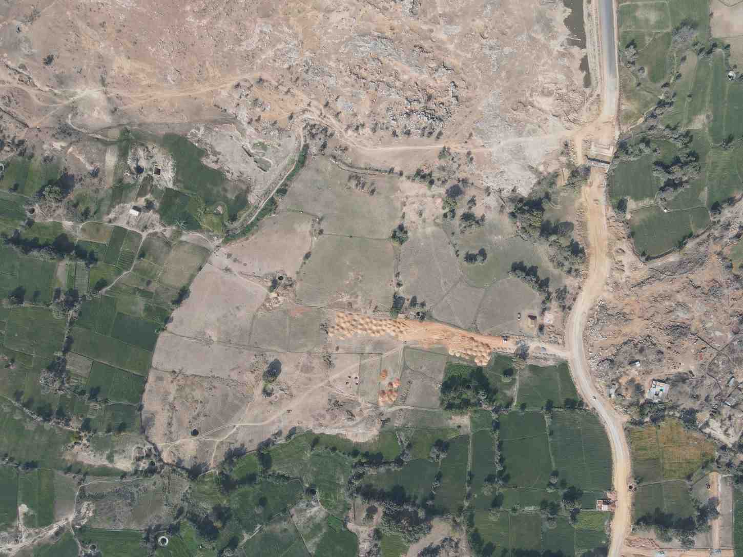
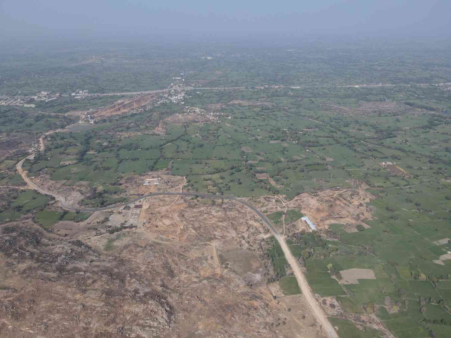
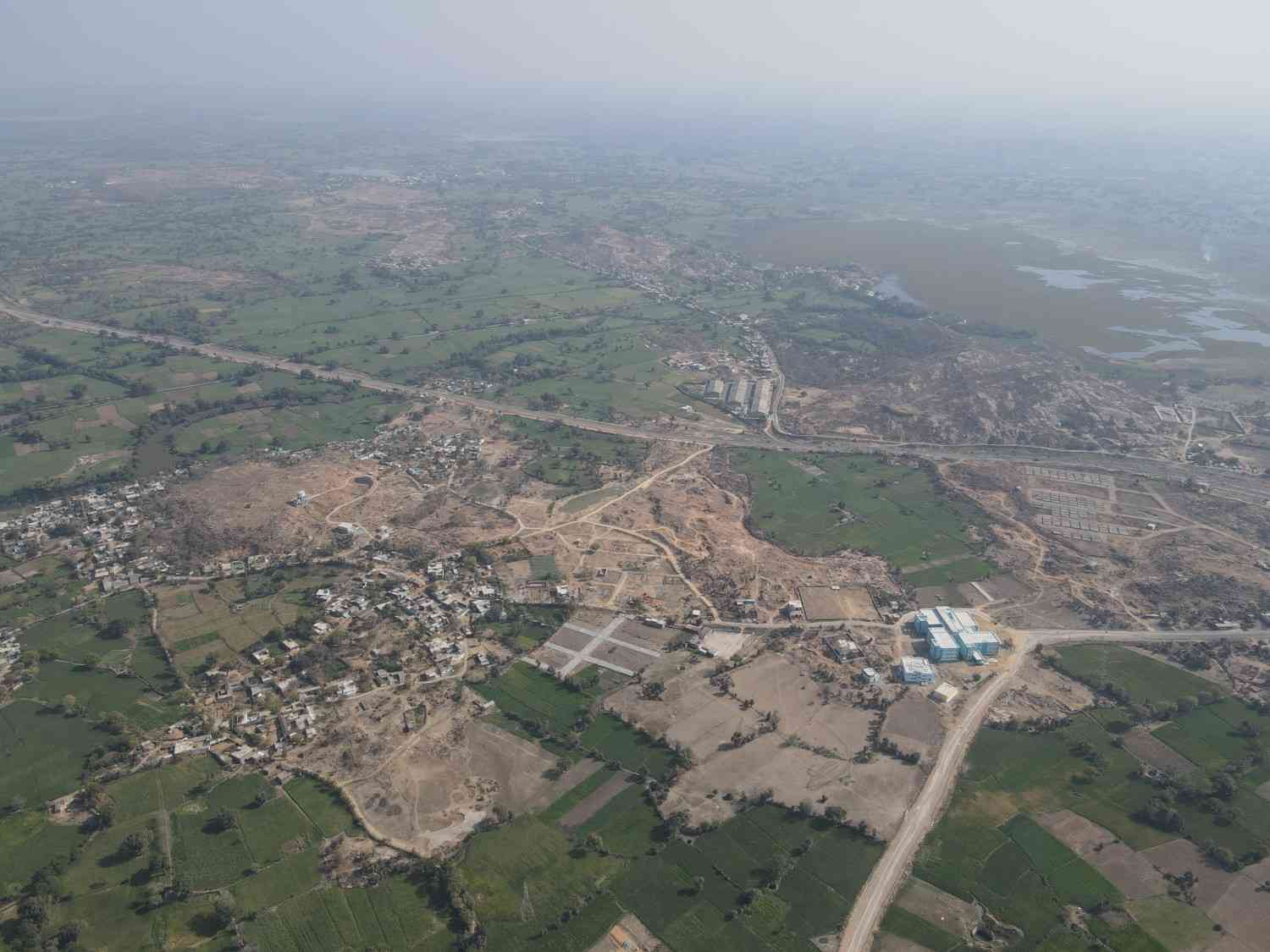
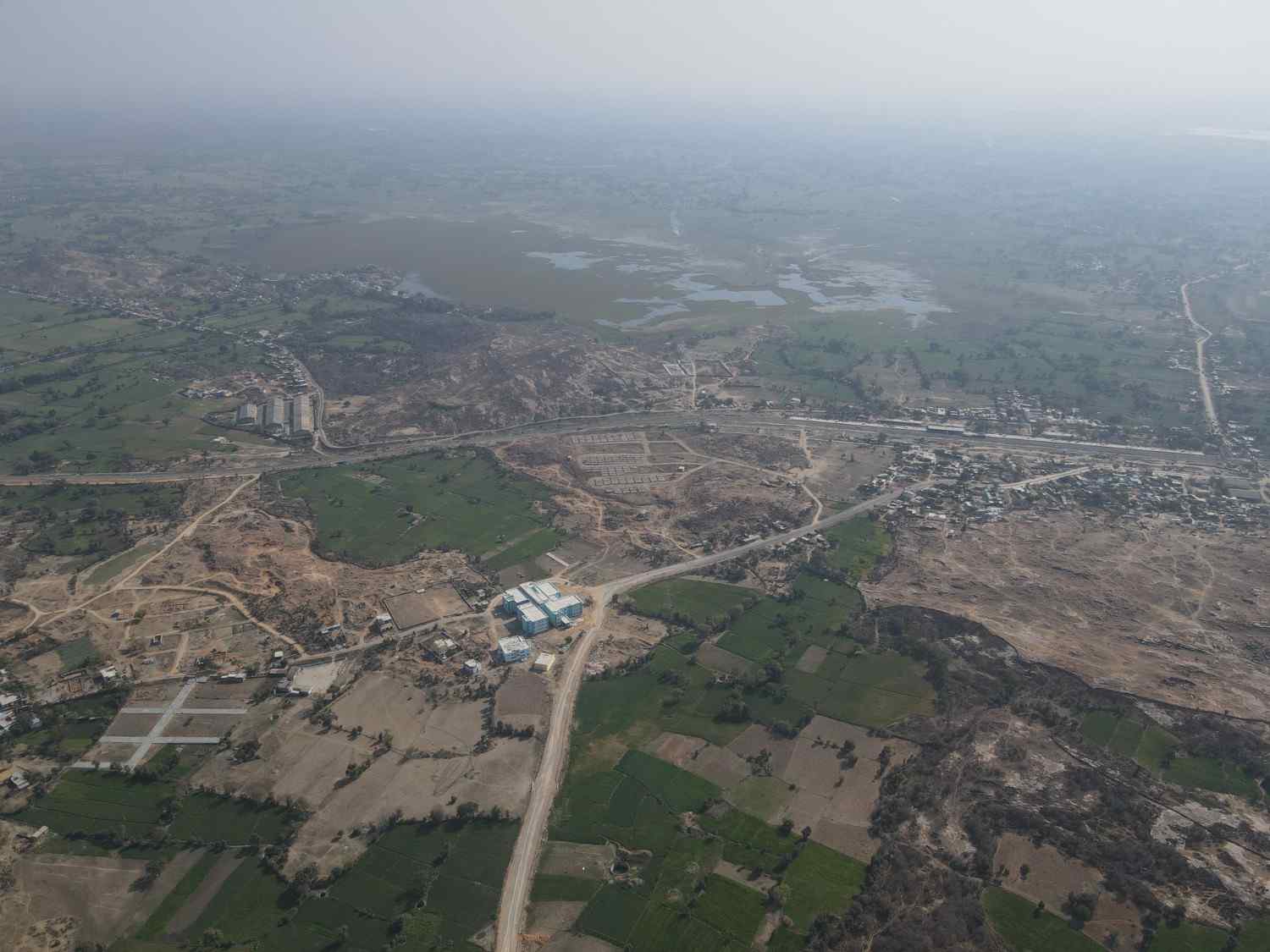
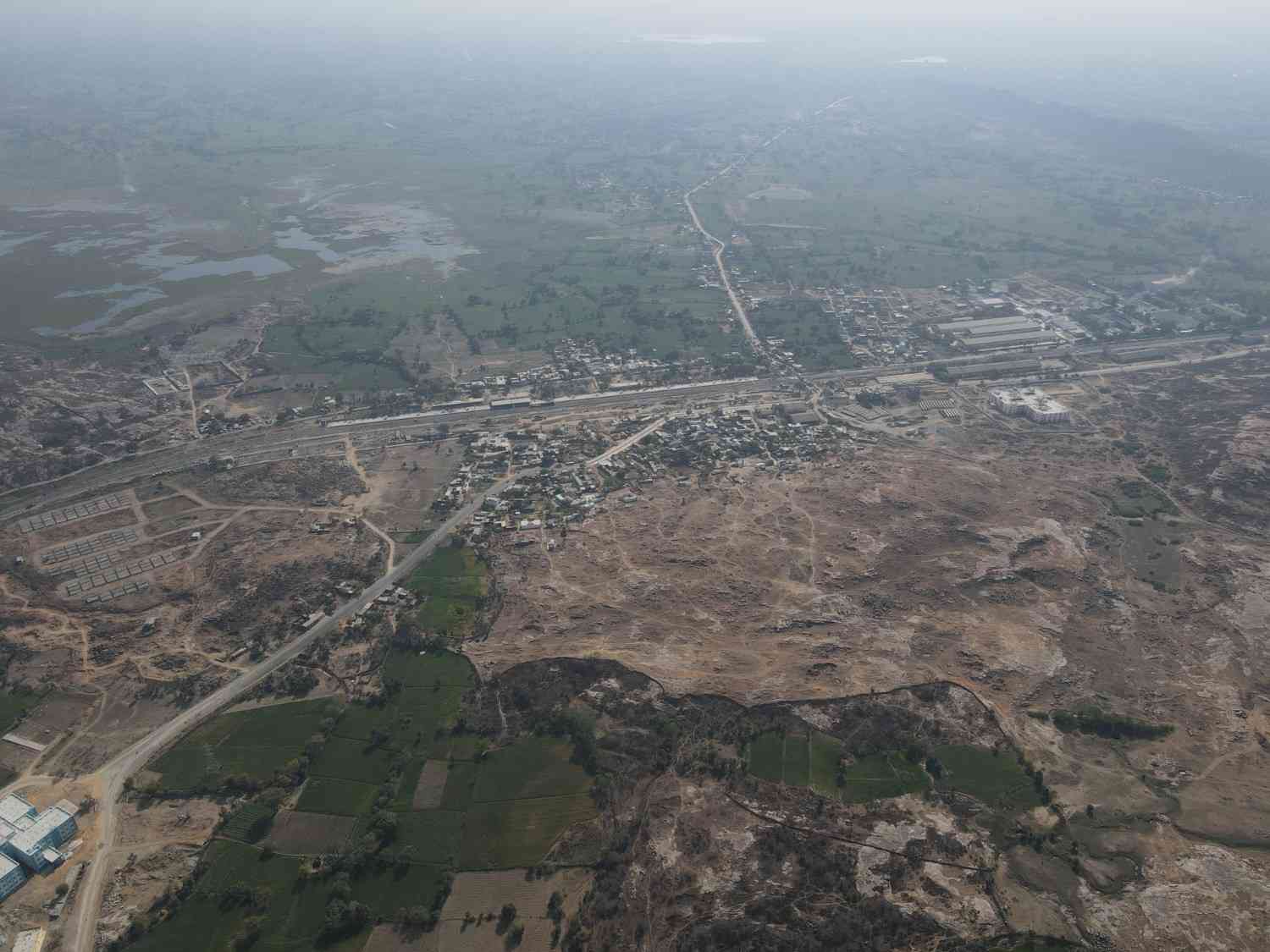
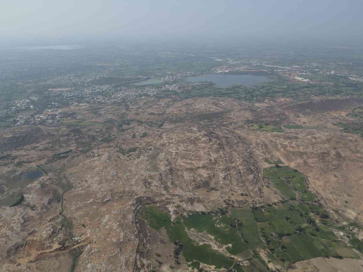
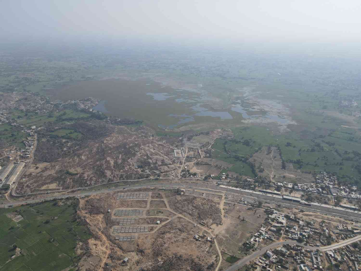
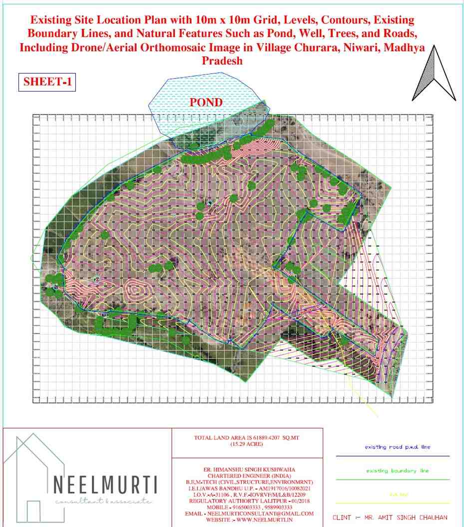
Topographical & Drone Survey Portfolio – Churara, Madhya Pradesh
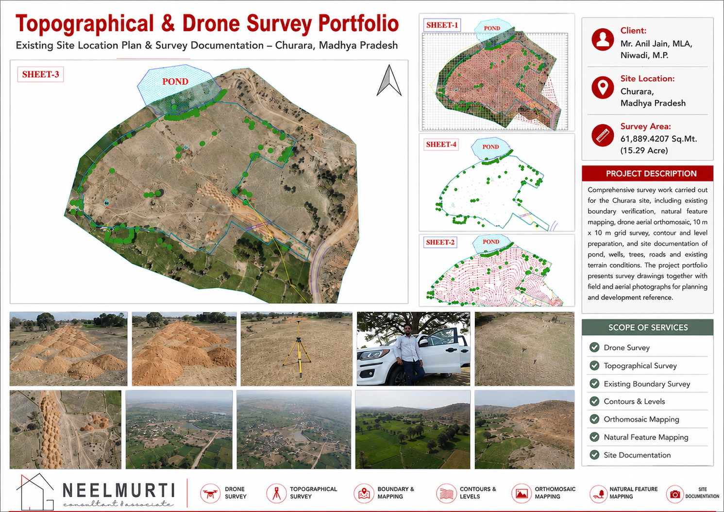
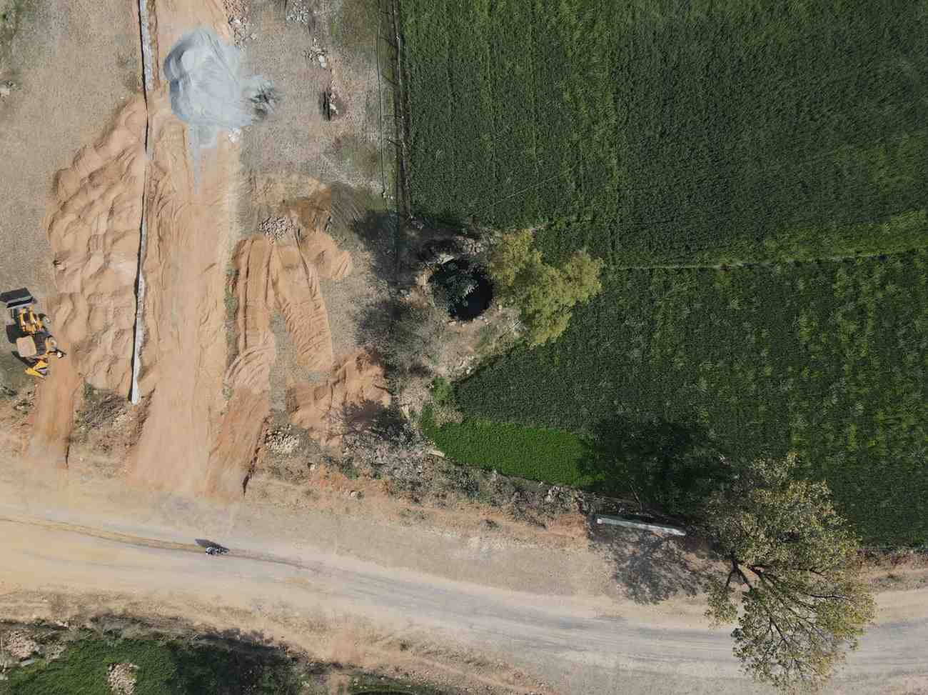
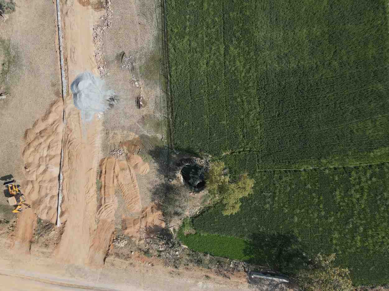
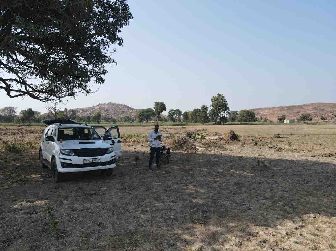
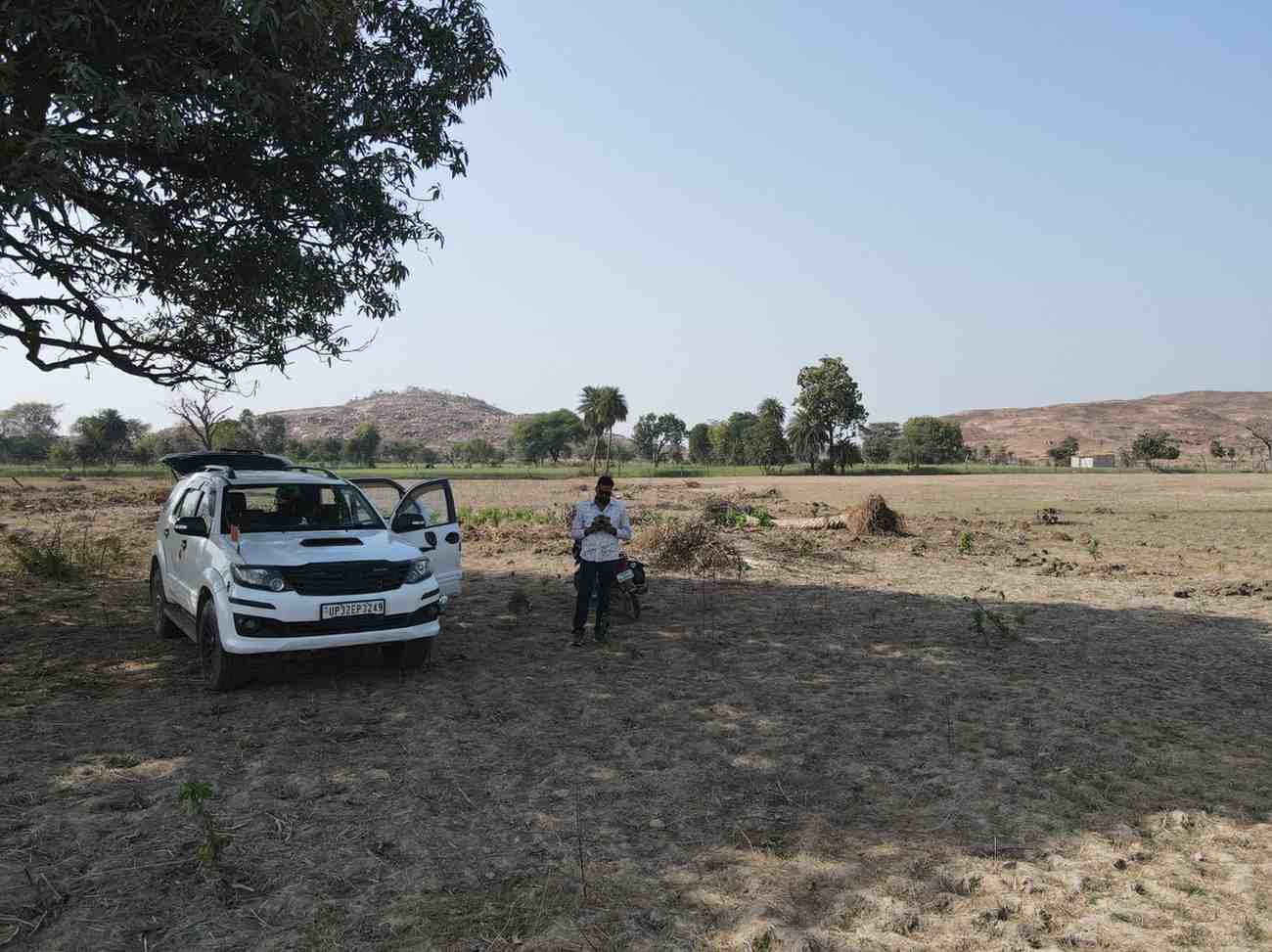
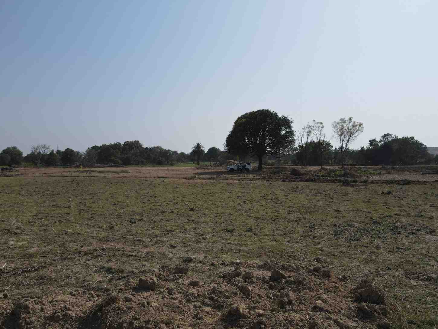
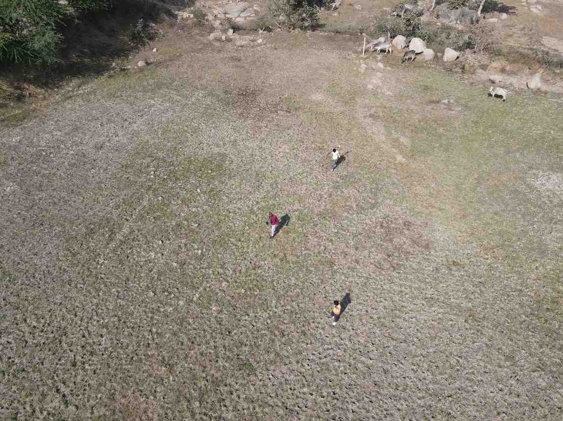
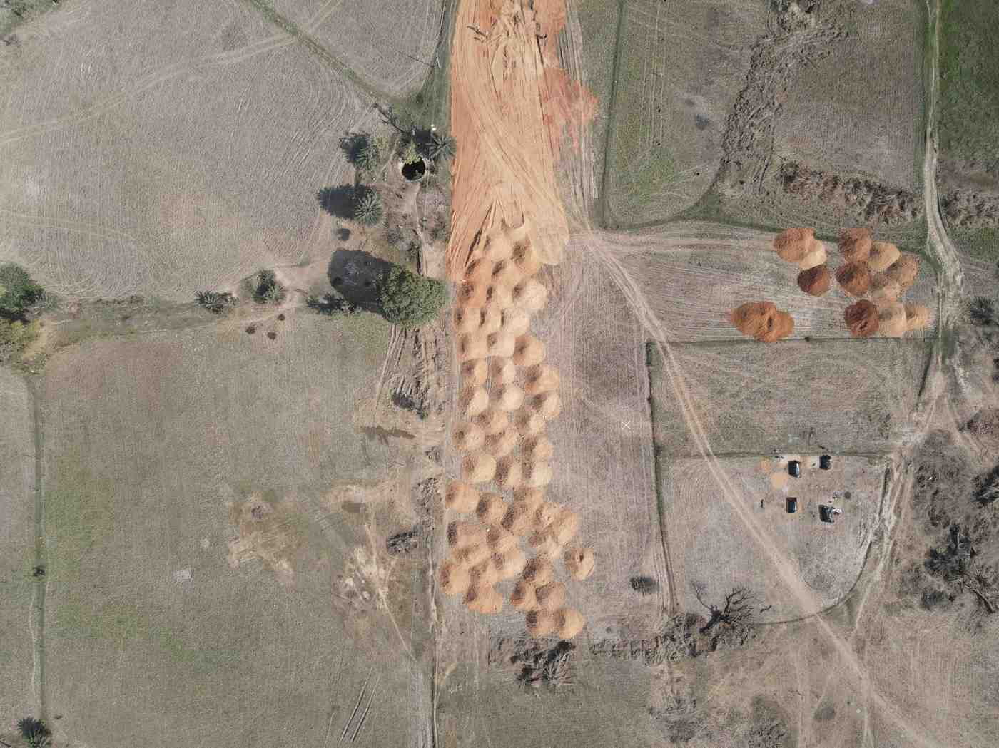
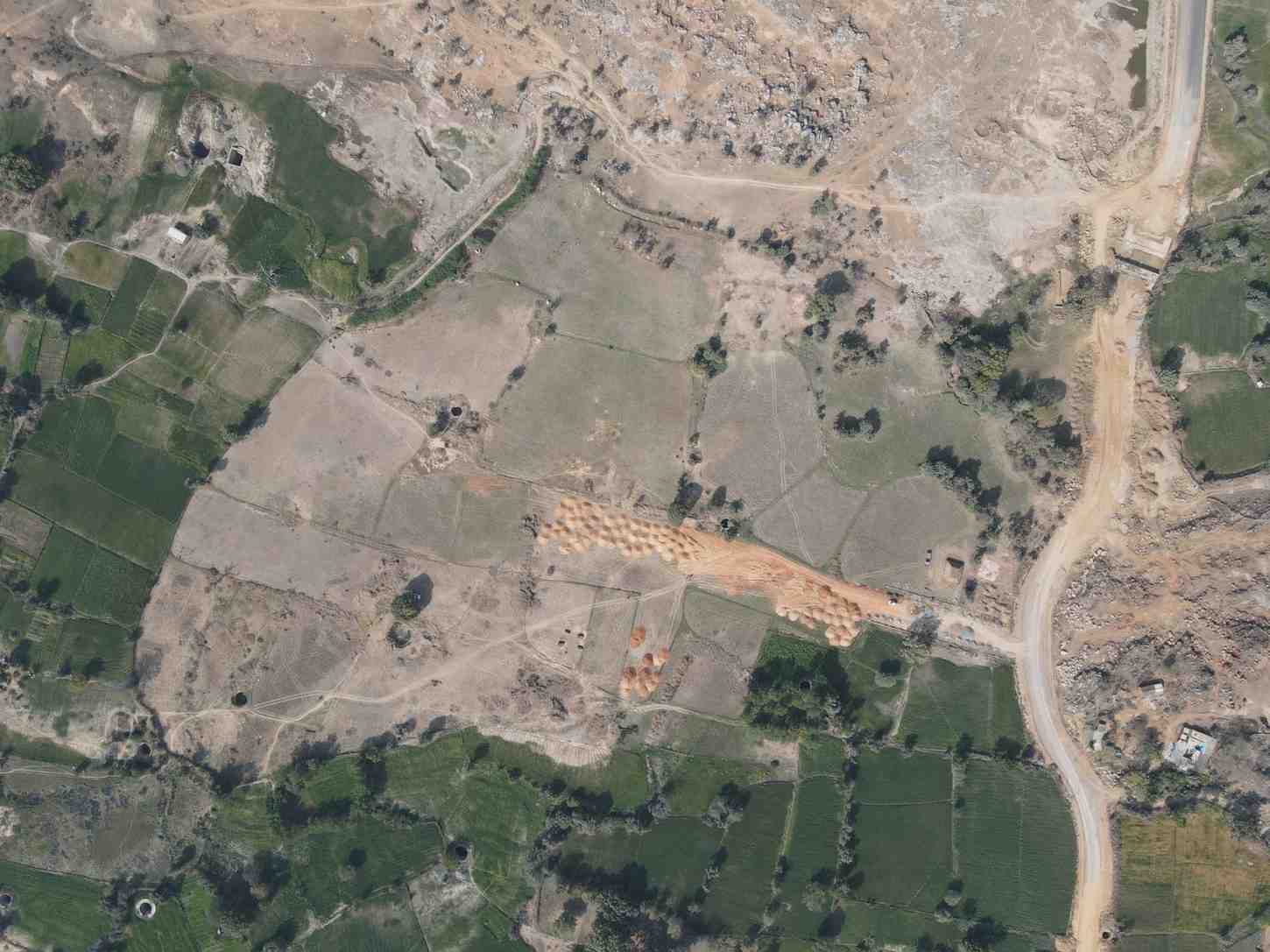
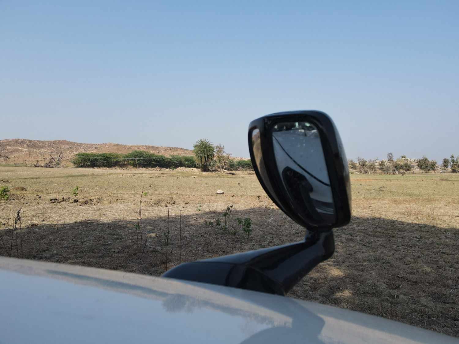
Comprehensive topographical and drone survey work carried out at Village Churara, Niwari, Madhya Pradesh for Client: Mr. Anil Jain, MLA, Niwadi, M.P. The project included existing site location mapping, boundary verification, drone/aerial orthomosaic survey, 10 m × 10 m grid survey, contour and level preparation, natural feature mapping, and documentation of existing site elements such as pond, wells, trees, roads and terrain conditions.
The survey area is approximately 61,889.4207 sq.m. / 15.29 acres. Neelmurti Consultant & Associate prepared detailed survey drawings, orthomosaic-based plans, contour sheets, boundary line mapping and field documentation to support planning, development and site analysis.