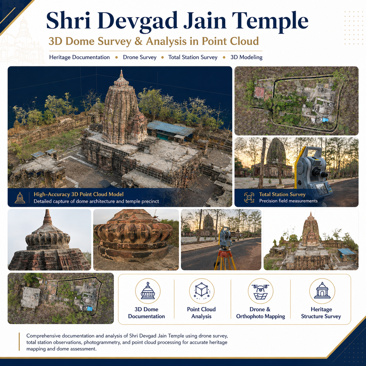
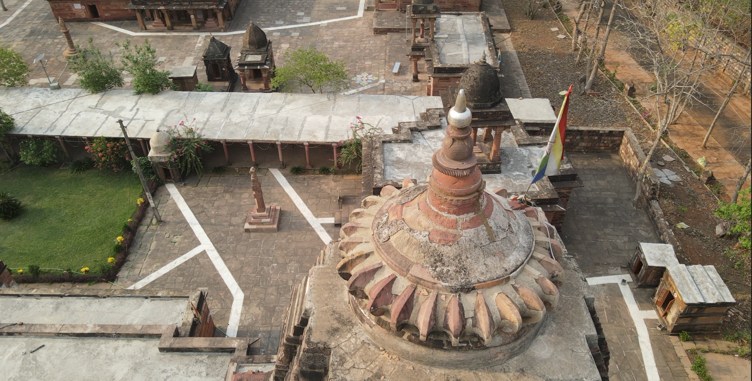
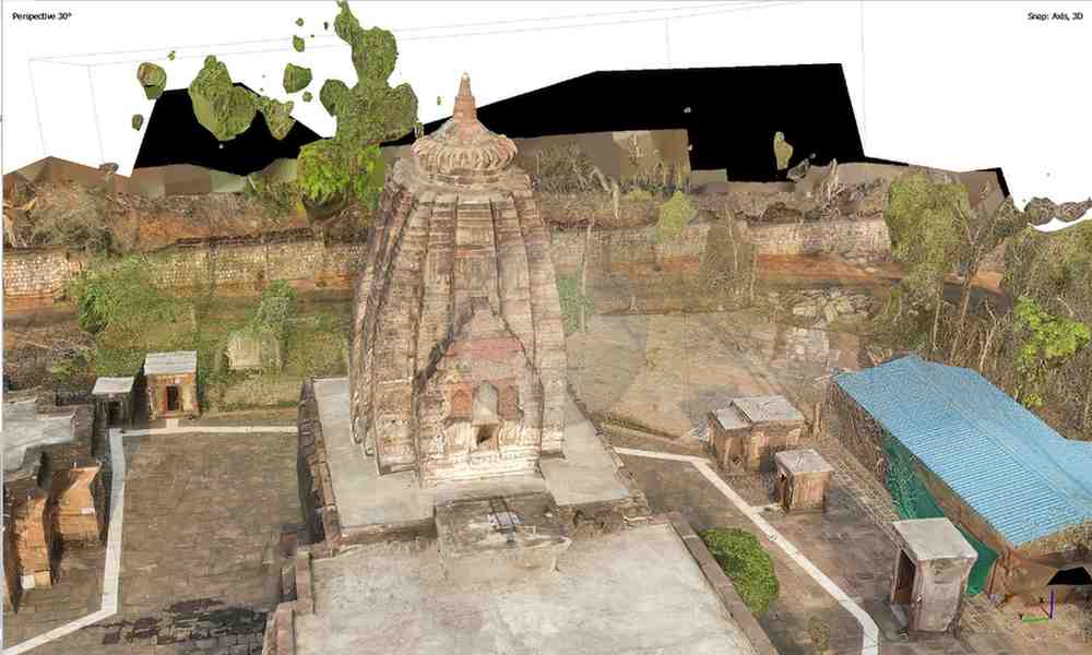
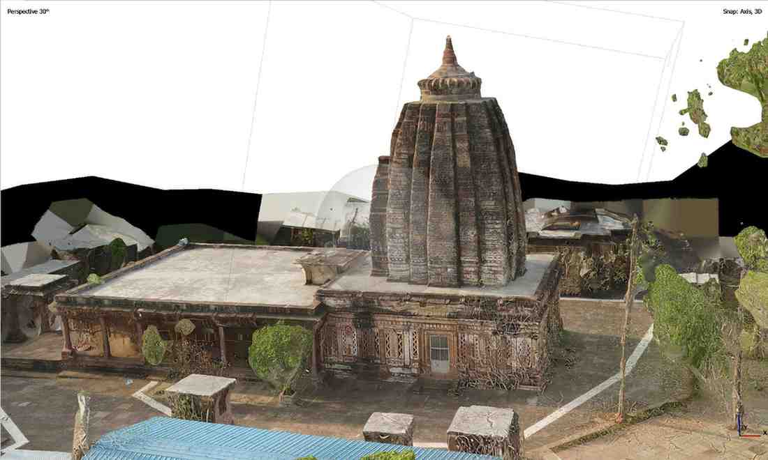
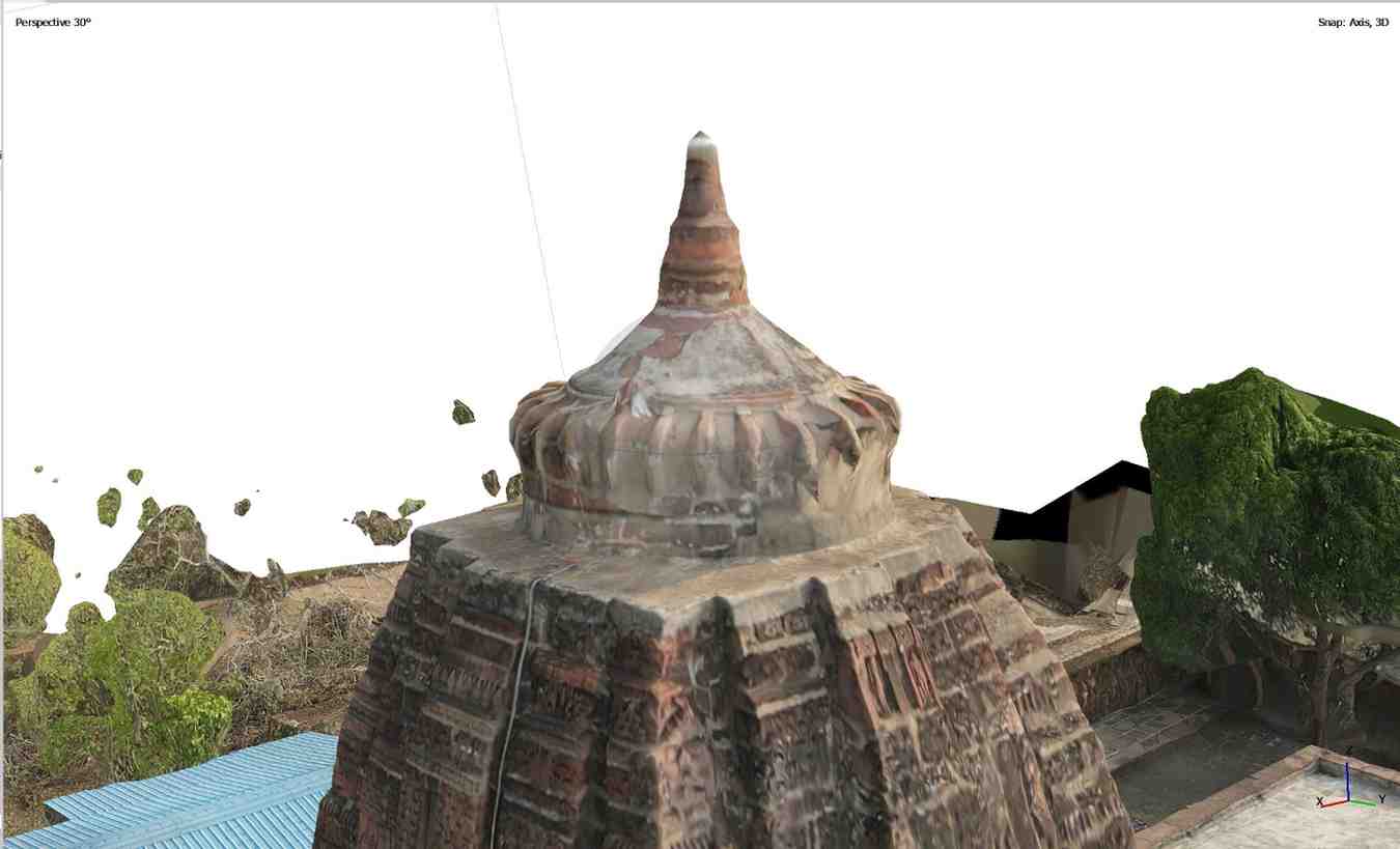
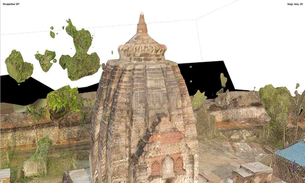
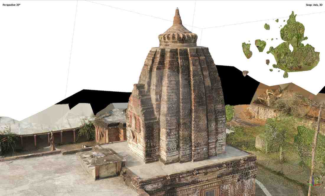
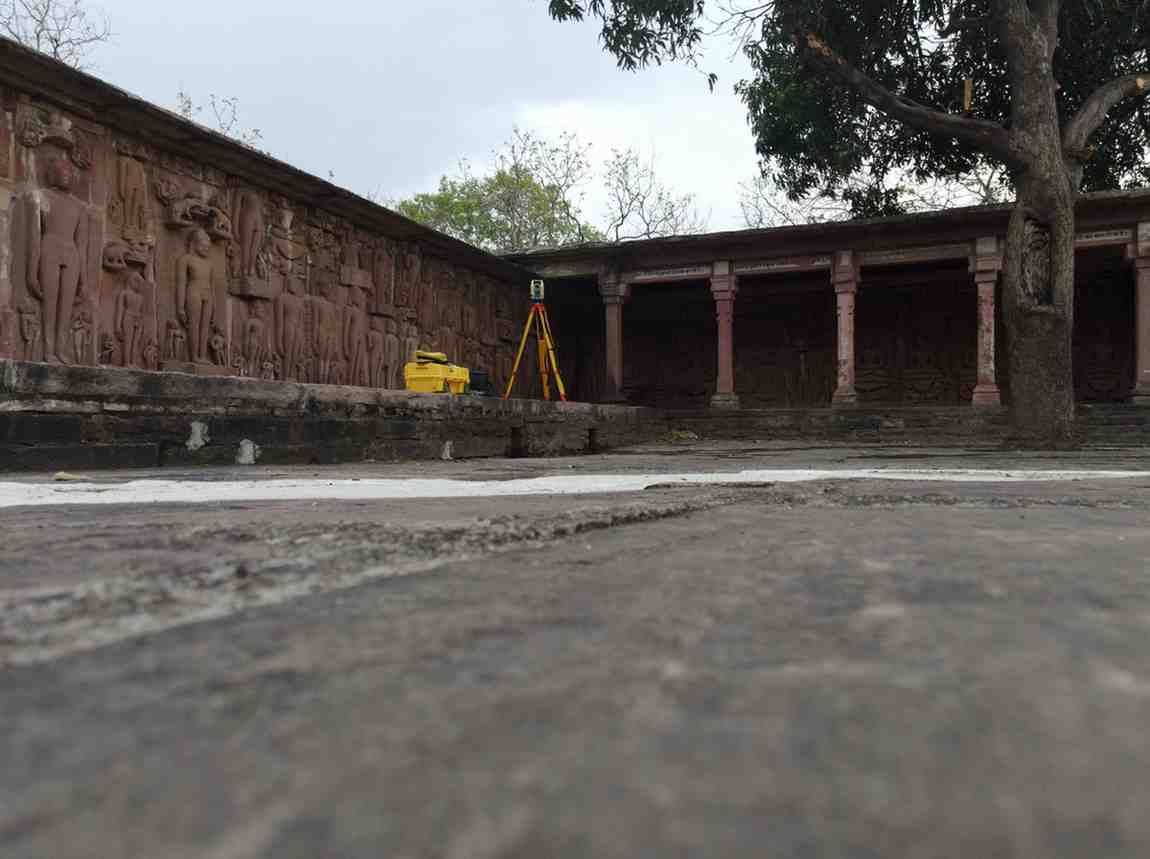
3D Dome Survey & Point Cloud Analysis of Shri Devgad Jain Temple
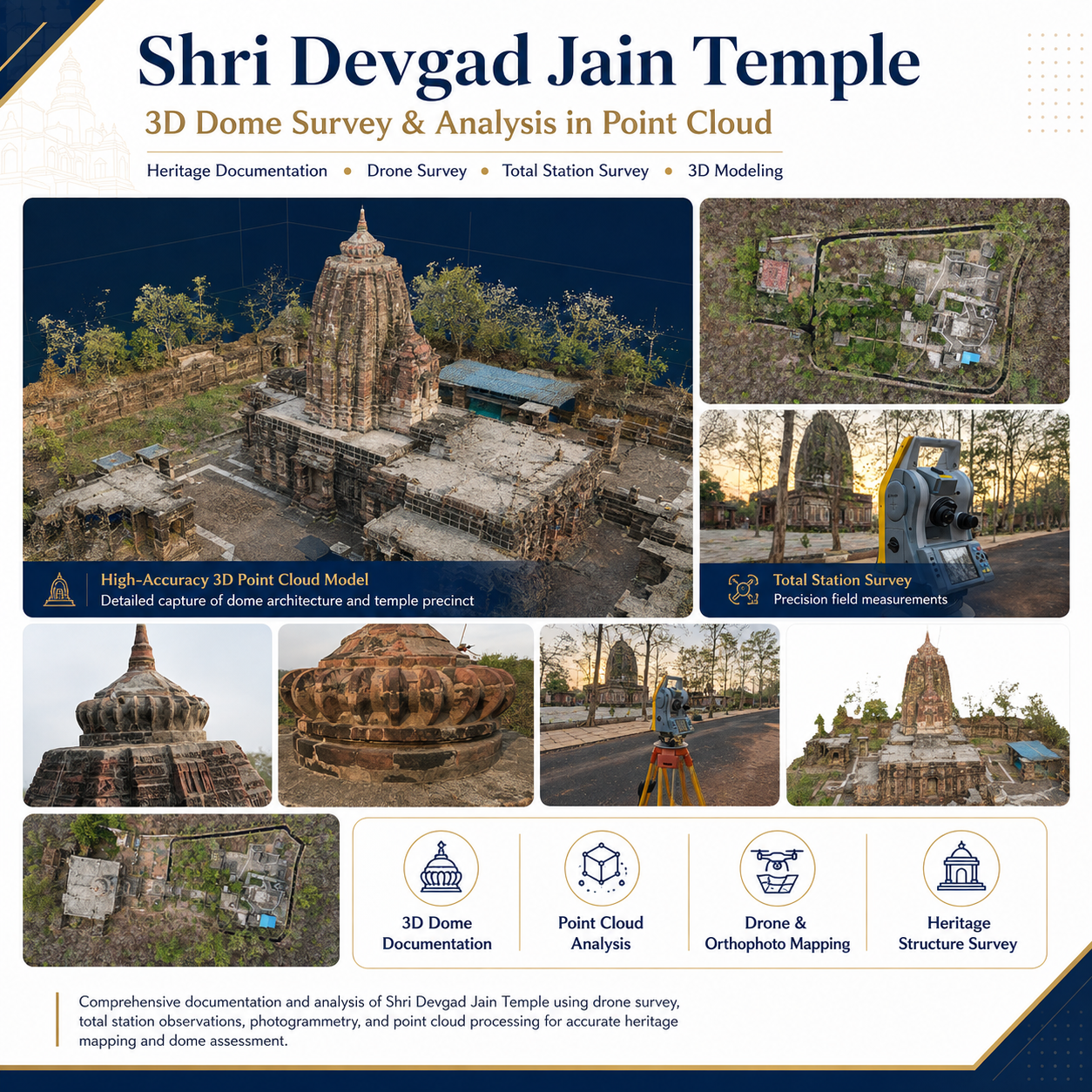
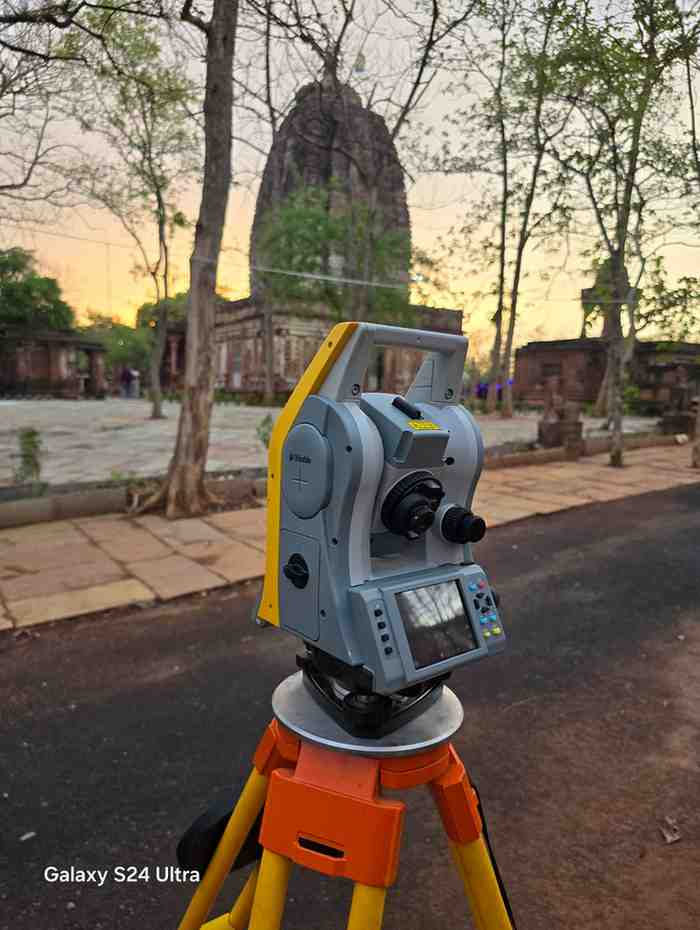
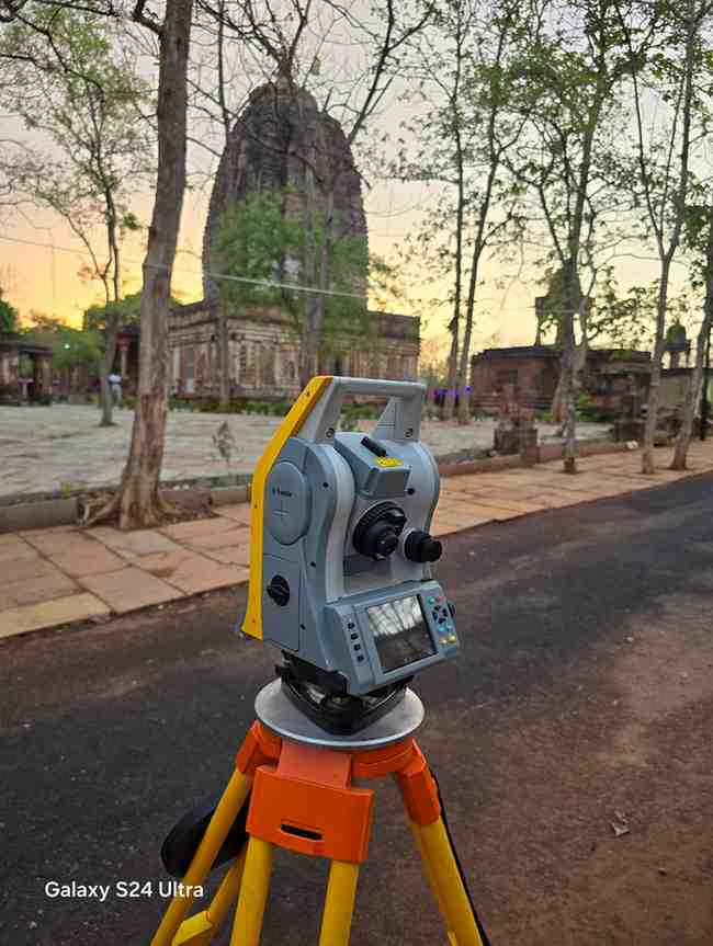
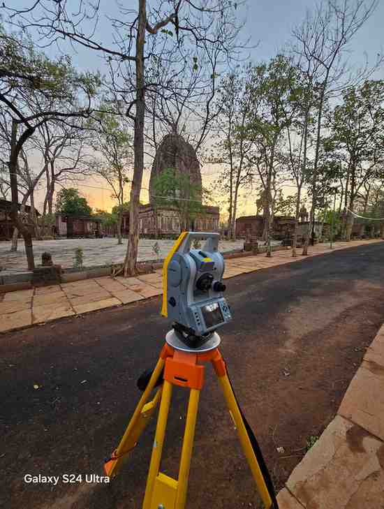
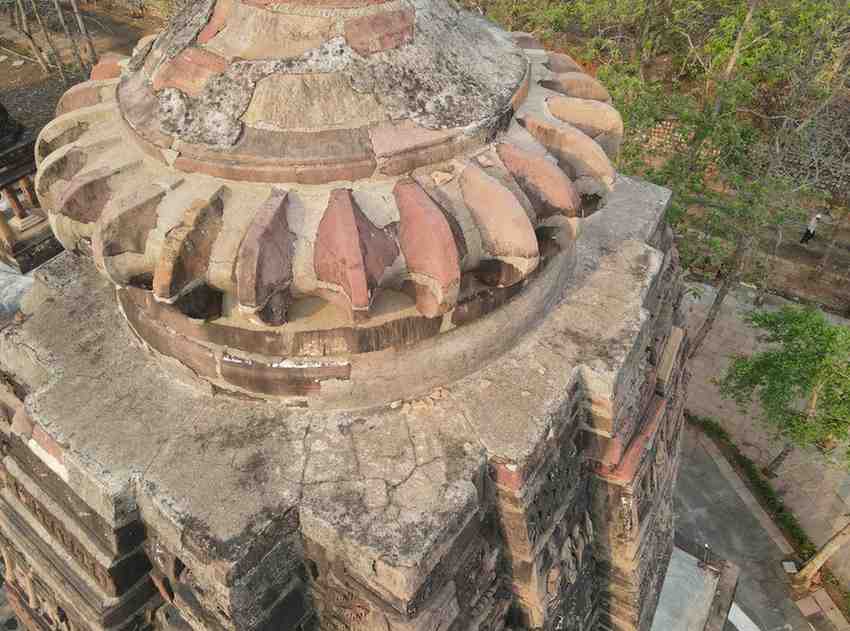
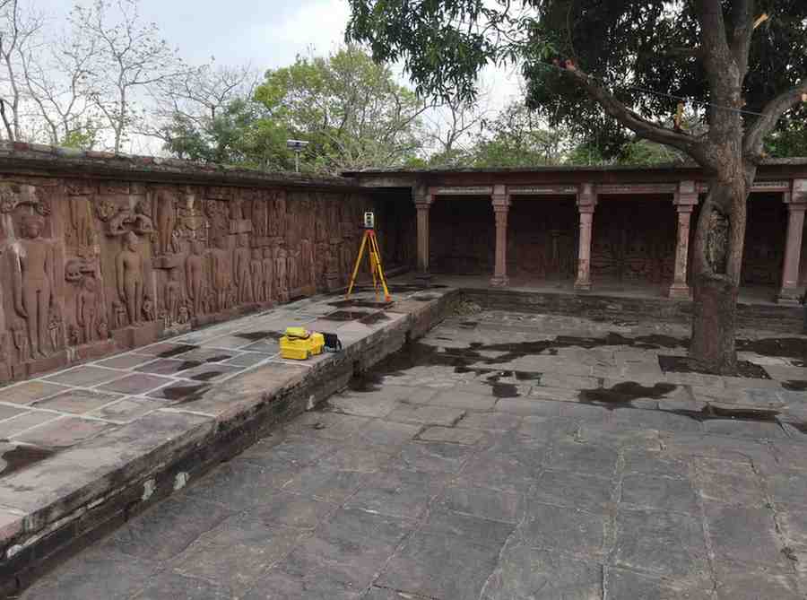
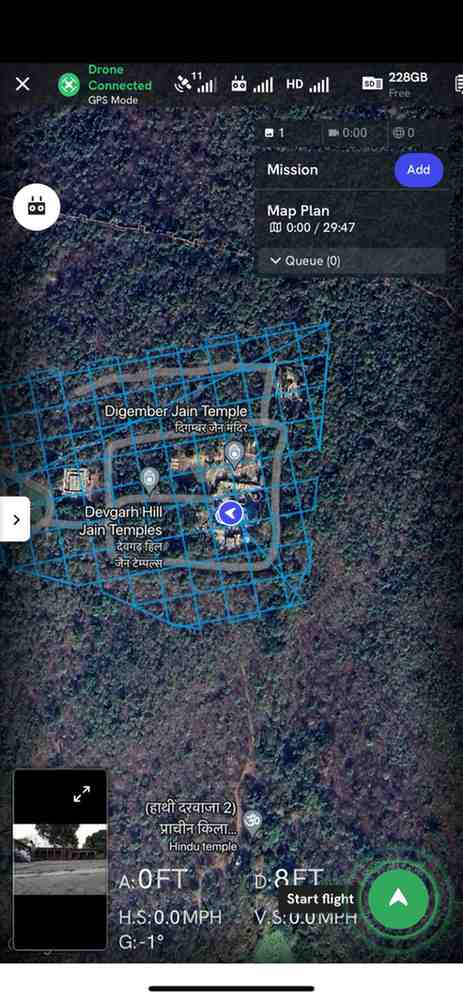
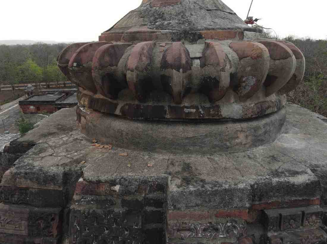
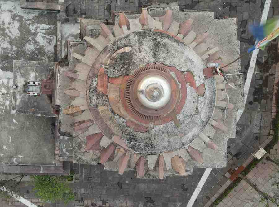
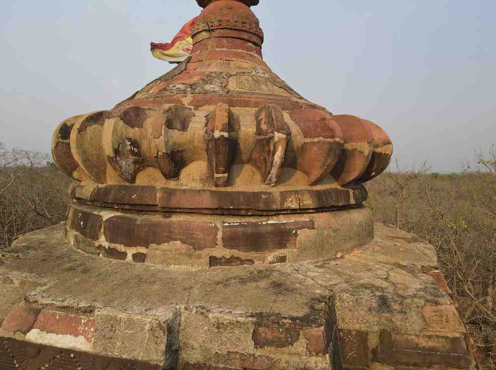
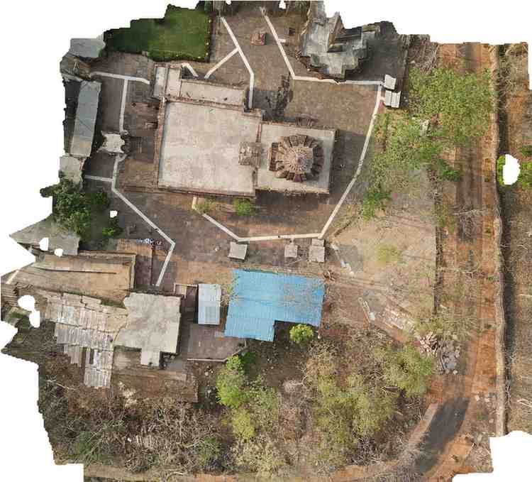
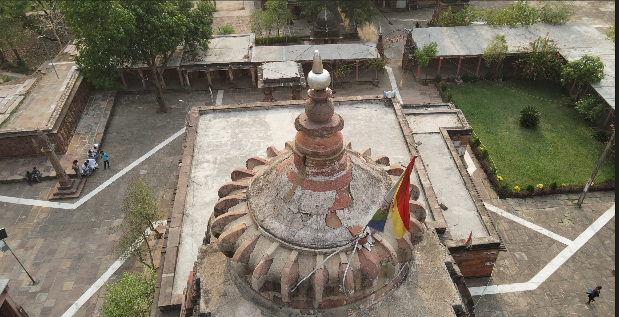
A detailed heritage documentation project carried out at Shri Devgad Jain Temple using drone photogrammetry, Total Station survey and advanced point-cloud processing. The survey generated a high-resolution 3D digital model of the temple, dome and surrounding campus, capturing intricate architectural details, existing surface conditions and accurate spatial measurements. The resulting point-cloud data and orthophoto mapping provide a reliable digital record for conservation planning, restoration assessment and future architectural reference.