AS-BUILT SURVEY & LAYOUT PLAN OF EXISTING TOWNSHIP ARSHIYA COLONY, AMROJA DISTRICT LALITPUR, UTTAR PRADESH
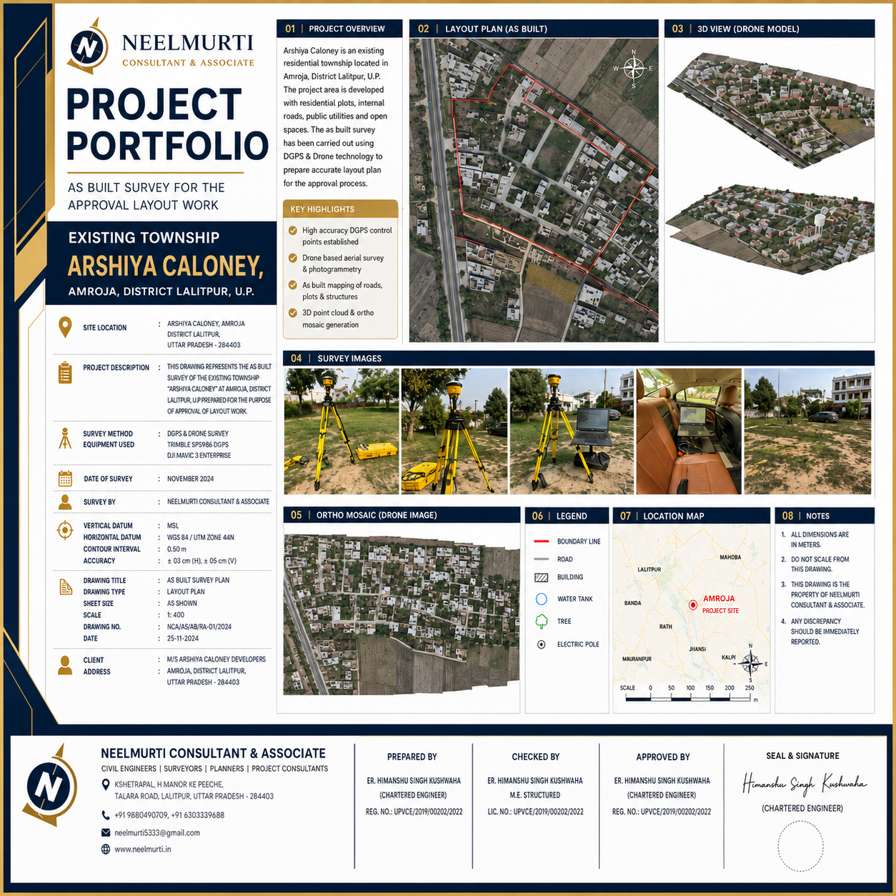
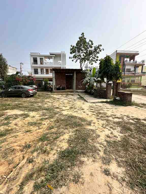
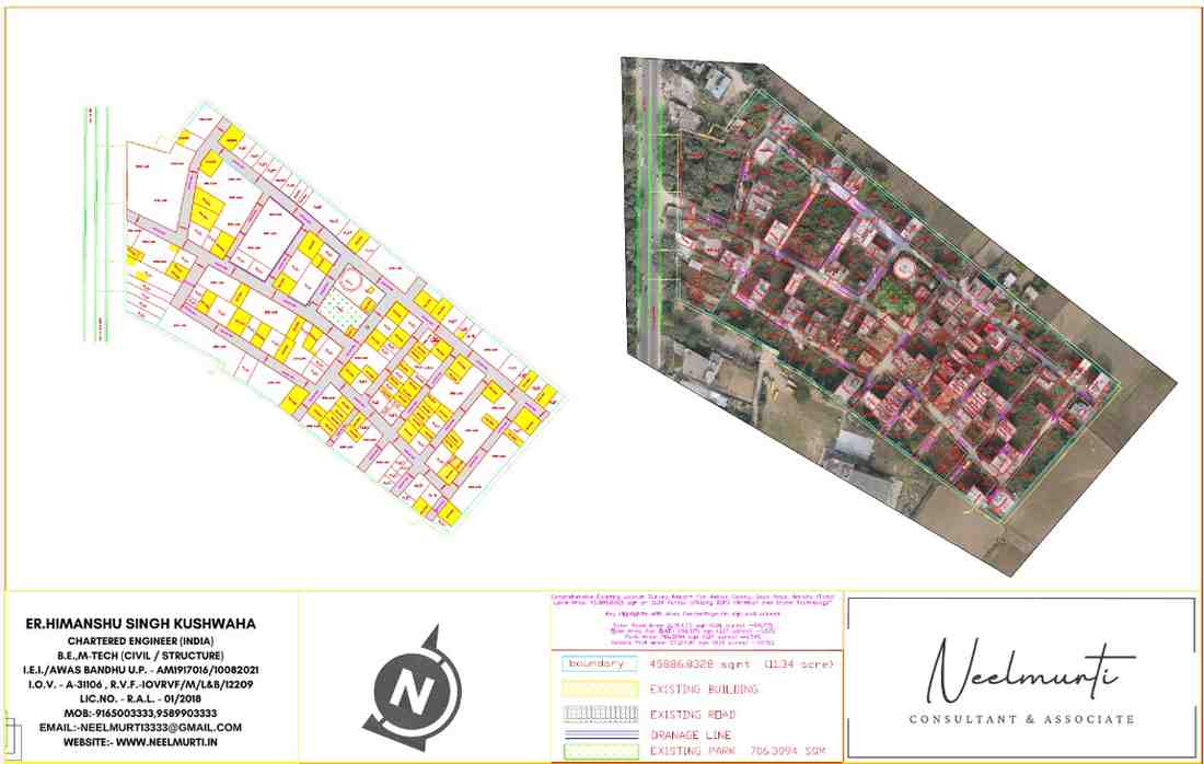
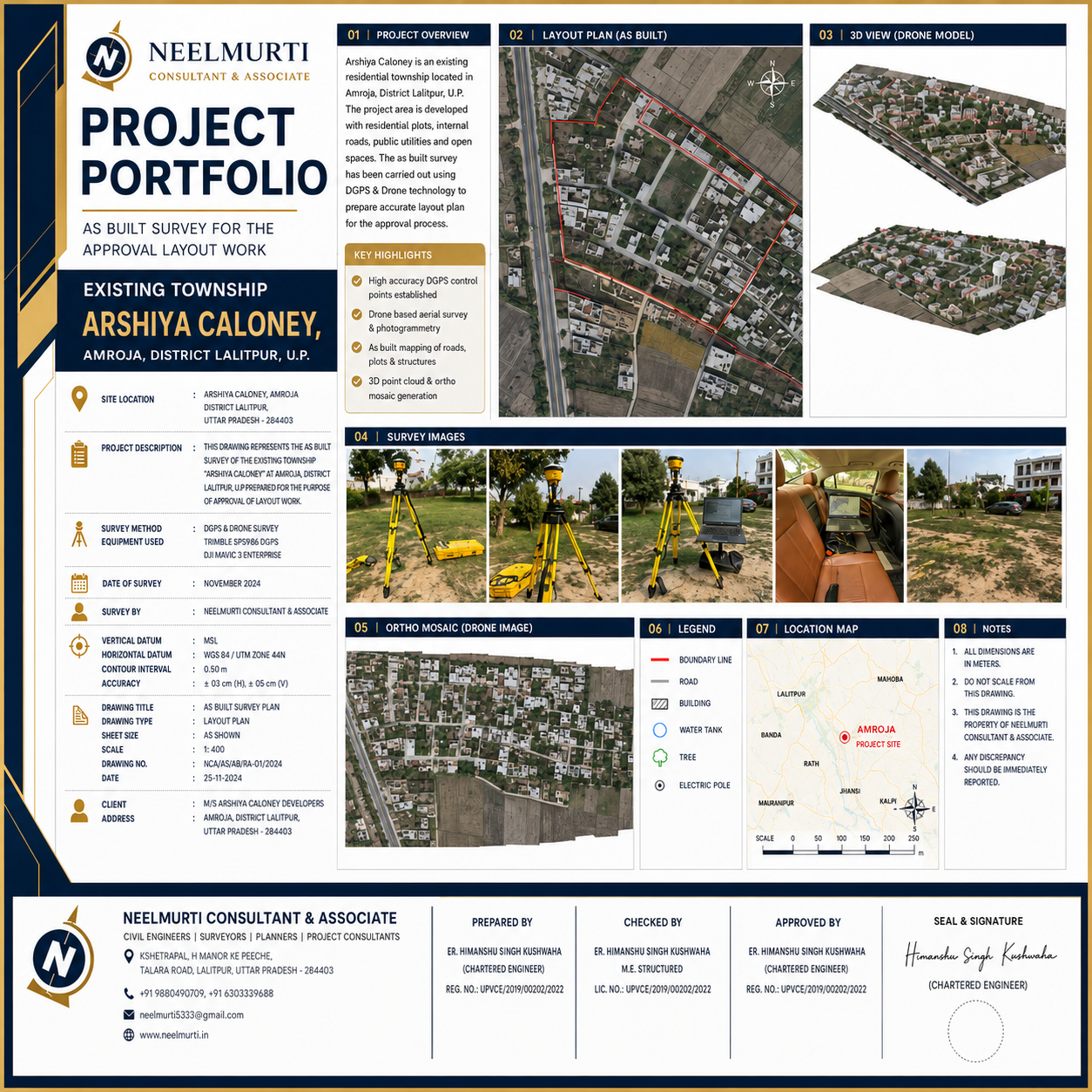
This project involved a comprehensive as-built survey of the existing Arshiya Colony township at Amroja, District Lalitpur, Uttar Pradesh, carried out for preparation and approval of the existing layout plan.
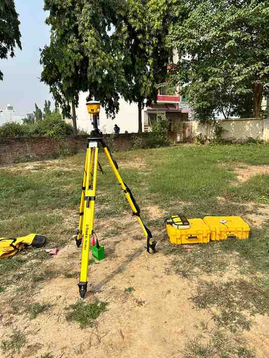
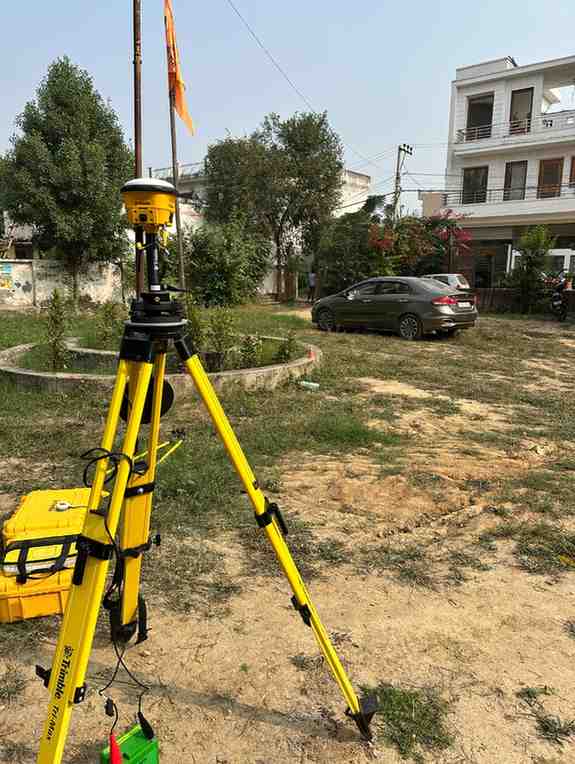
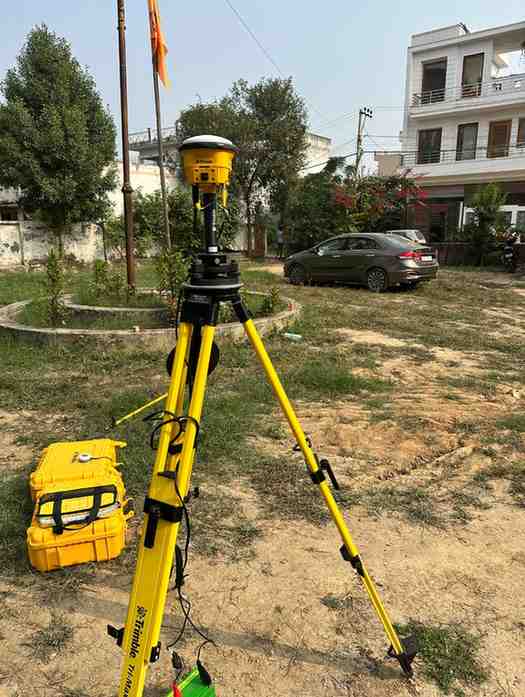
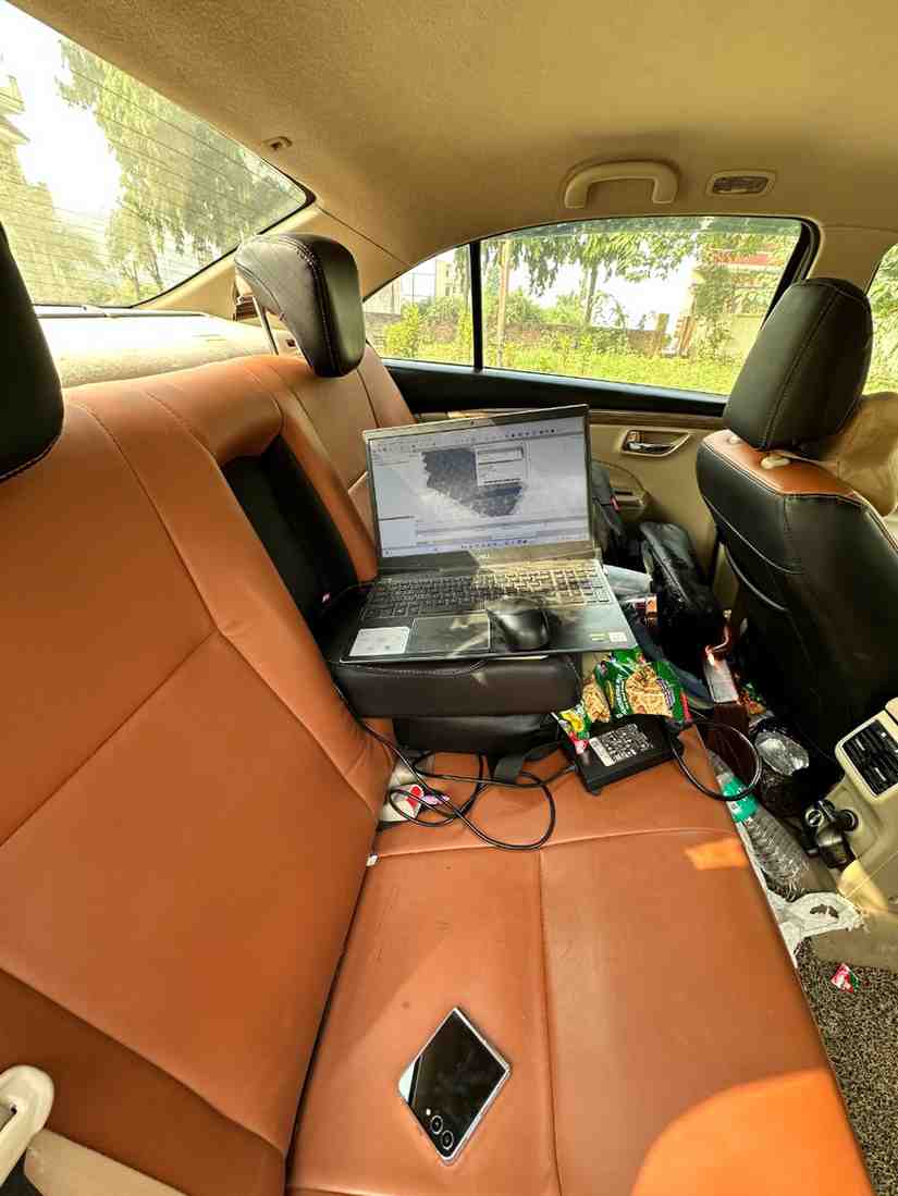
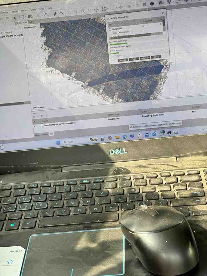
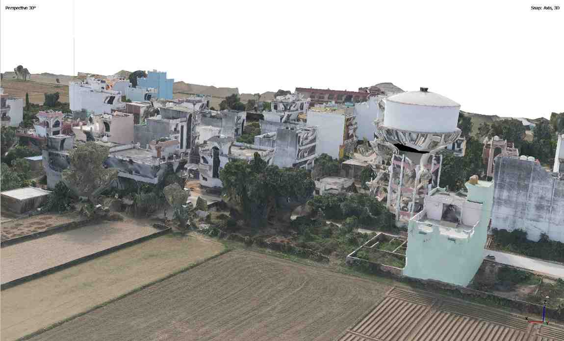
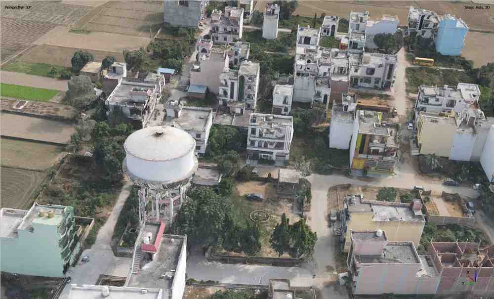
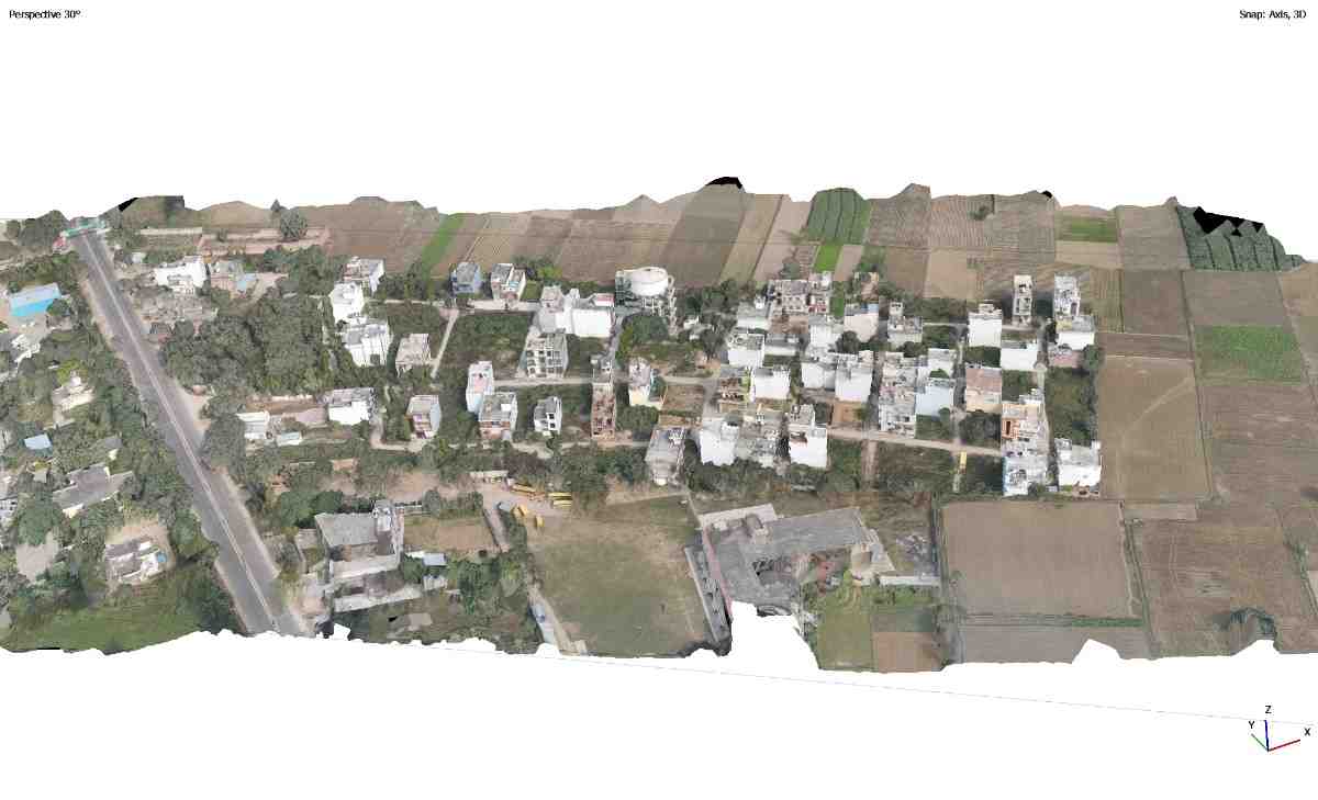
The survey was completed using DGPS and drone photogrammetry technology to accurately record plot boundaries, internal roads, existing buildings, open spaces, utilities and other site features. The collected data was processed to generate a detailed orthomosaic map, 3D township model and CAD-based as-built layout plan.
The final drawings provide an accurate representation of the present site conditions and can be used for layout approval, planning, development assessment and official documentation.