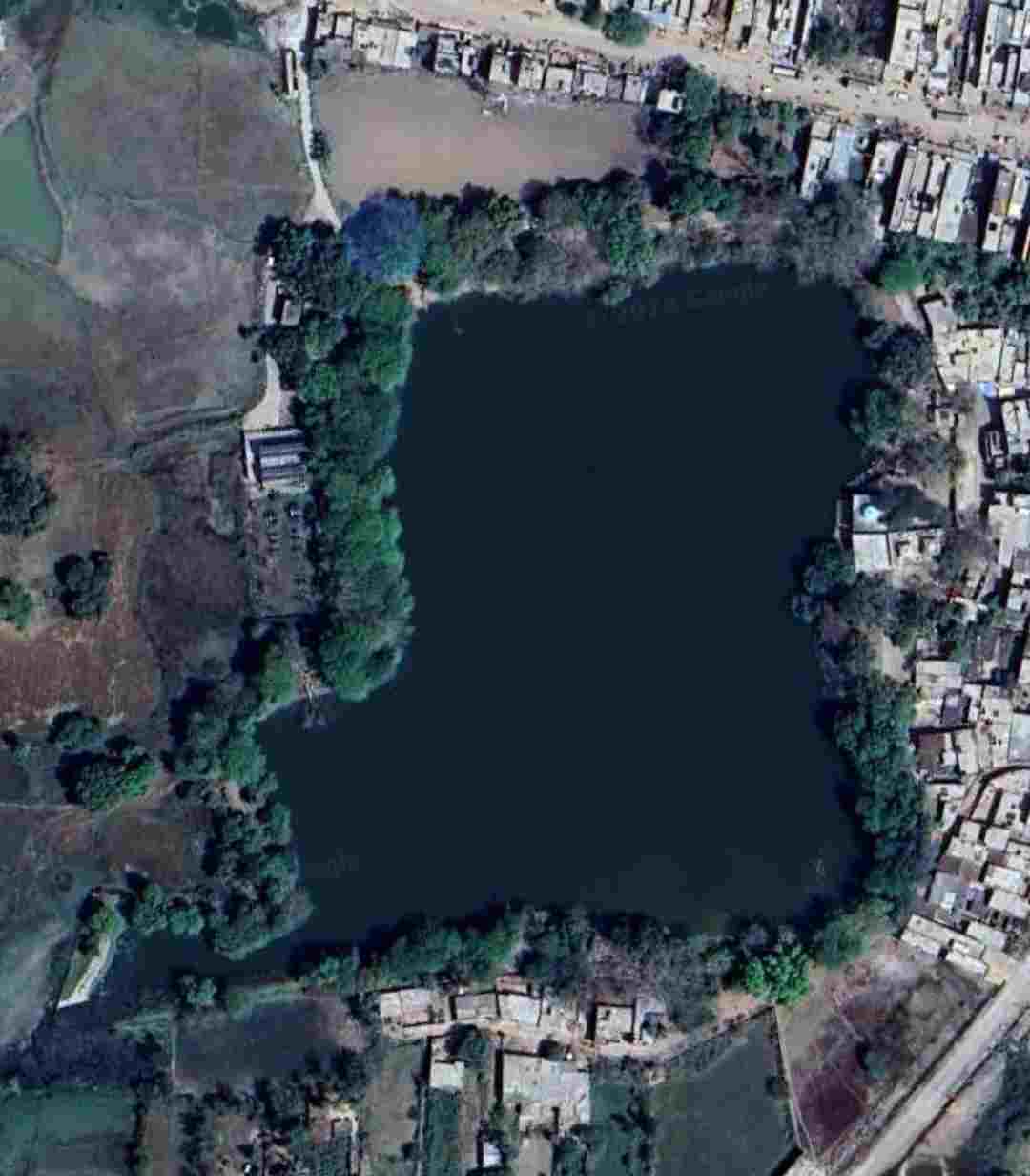
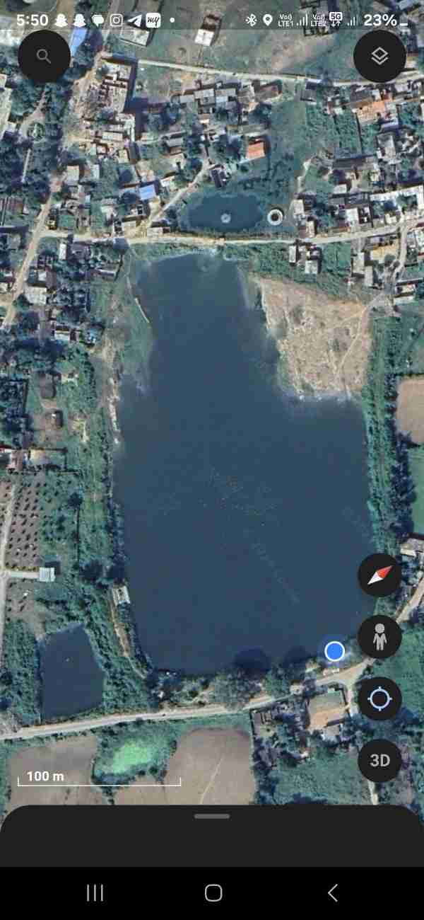
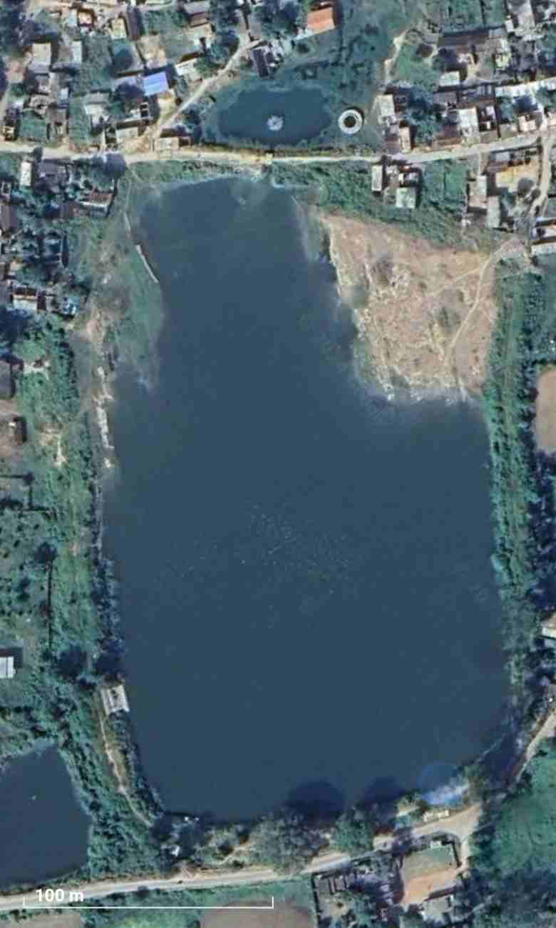
POND SURVEY & TOPOGRAPHICAL MAPPING AT BANDA AND CHITRAKOOT DISTRICTS, UTTAR PRADESH
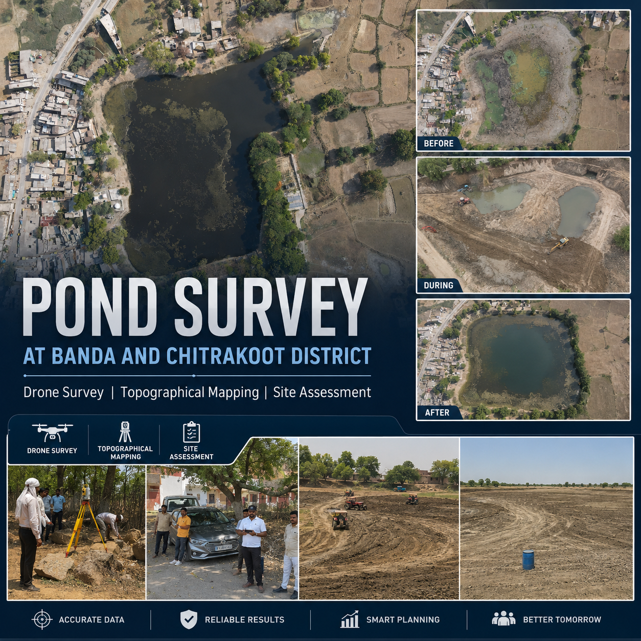
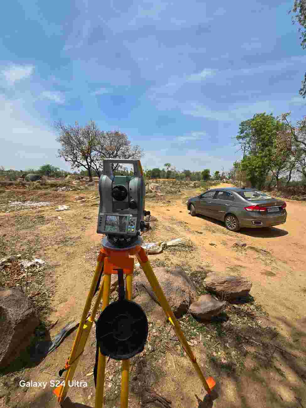
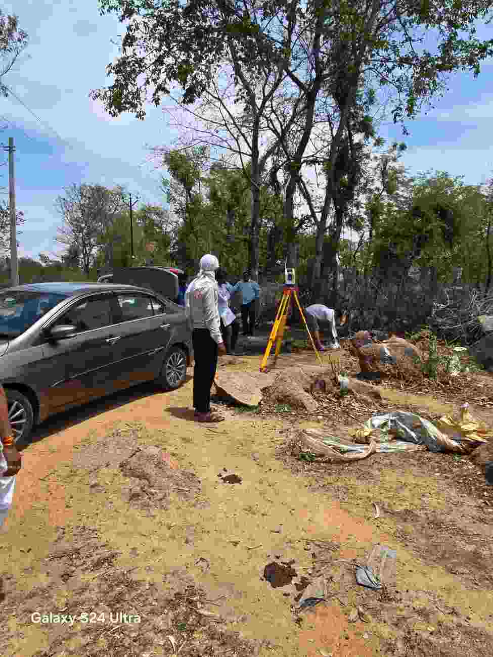
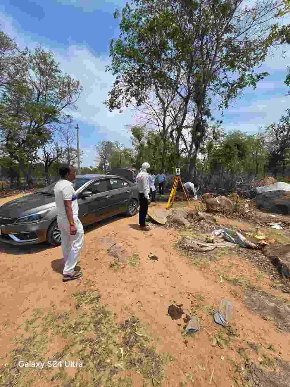
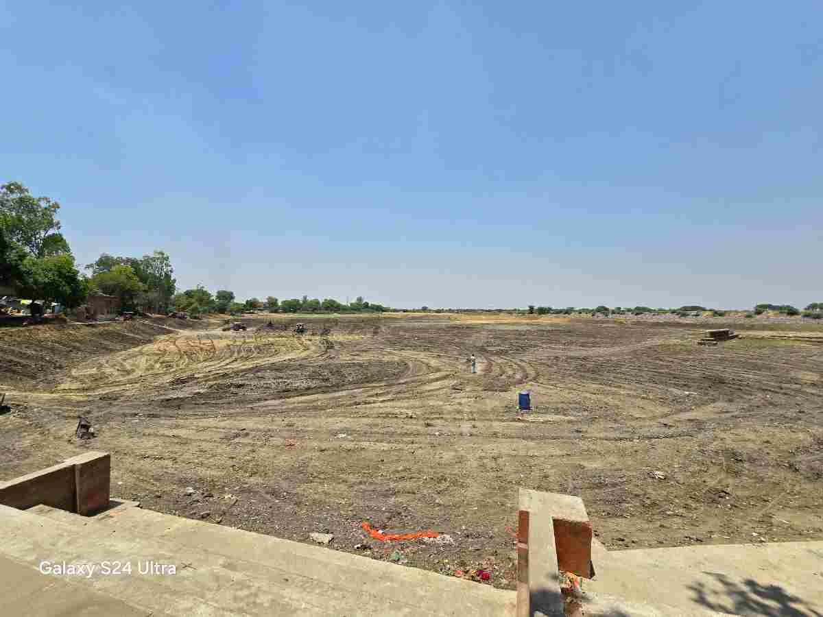
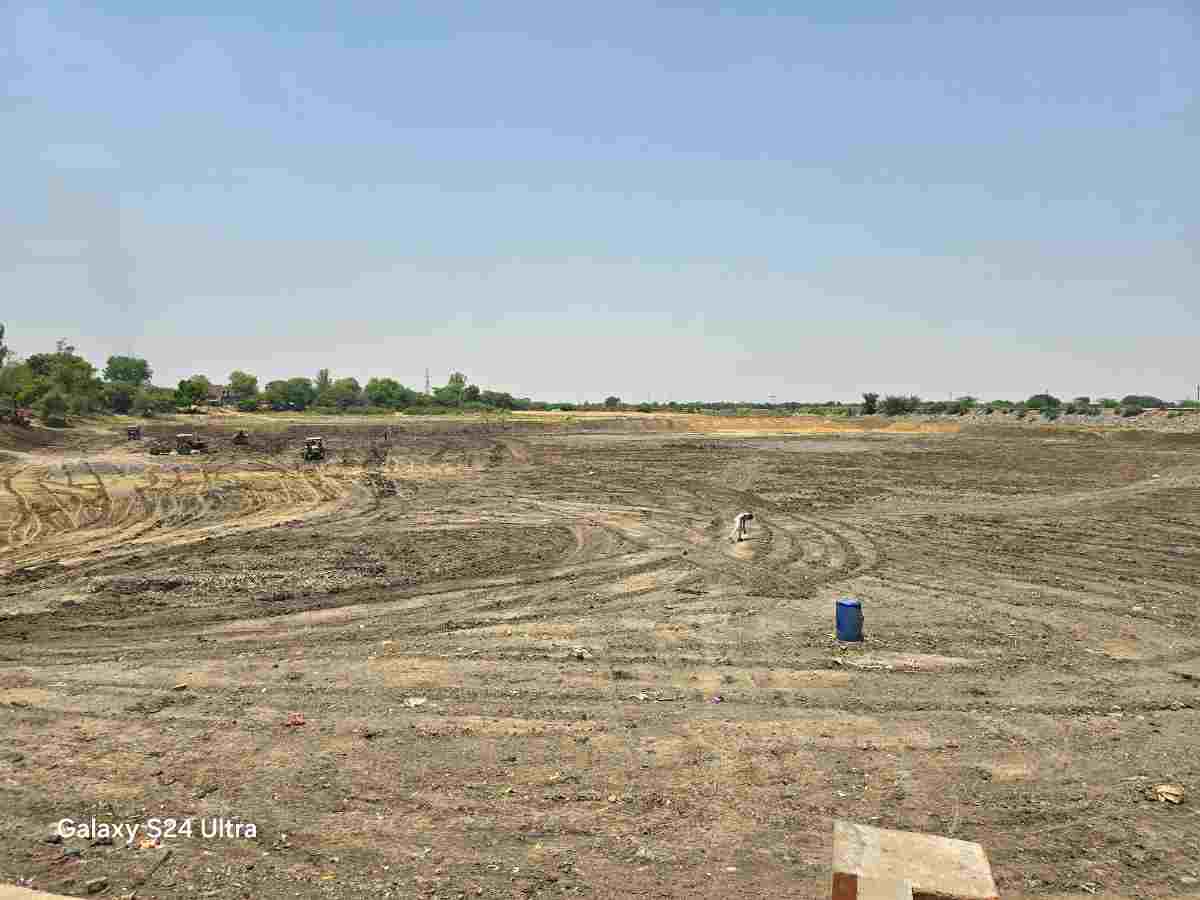
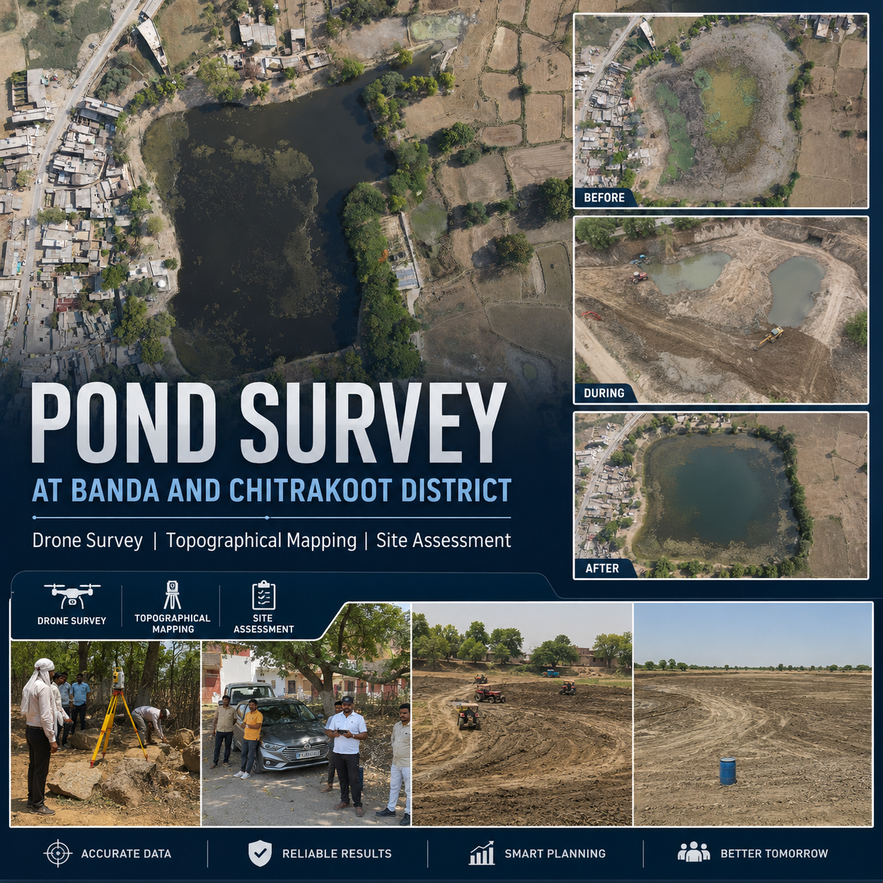
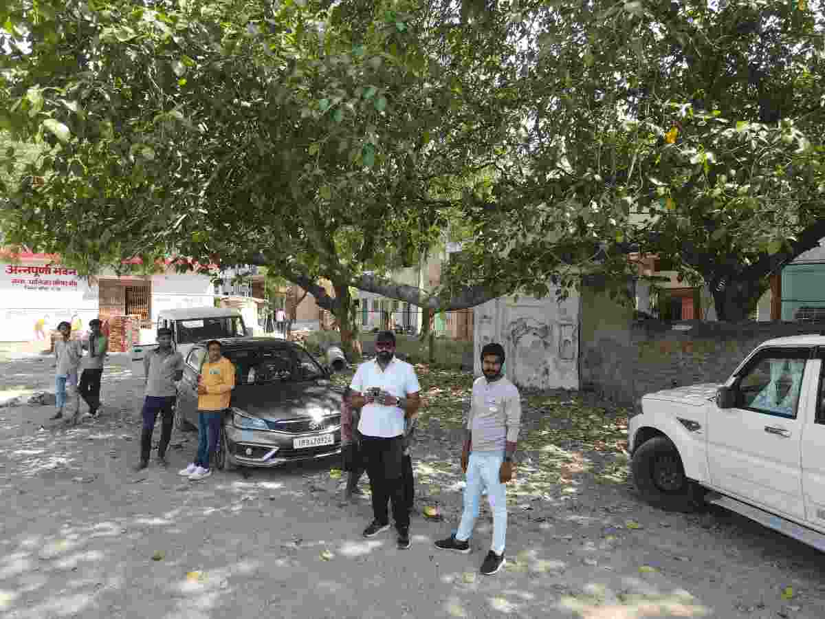
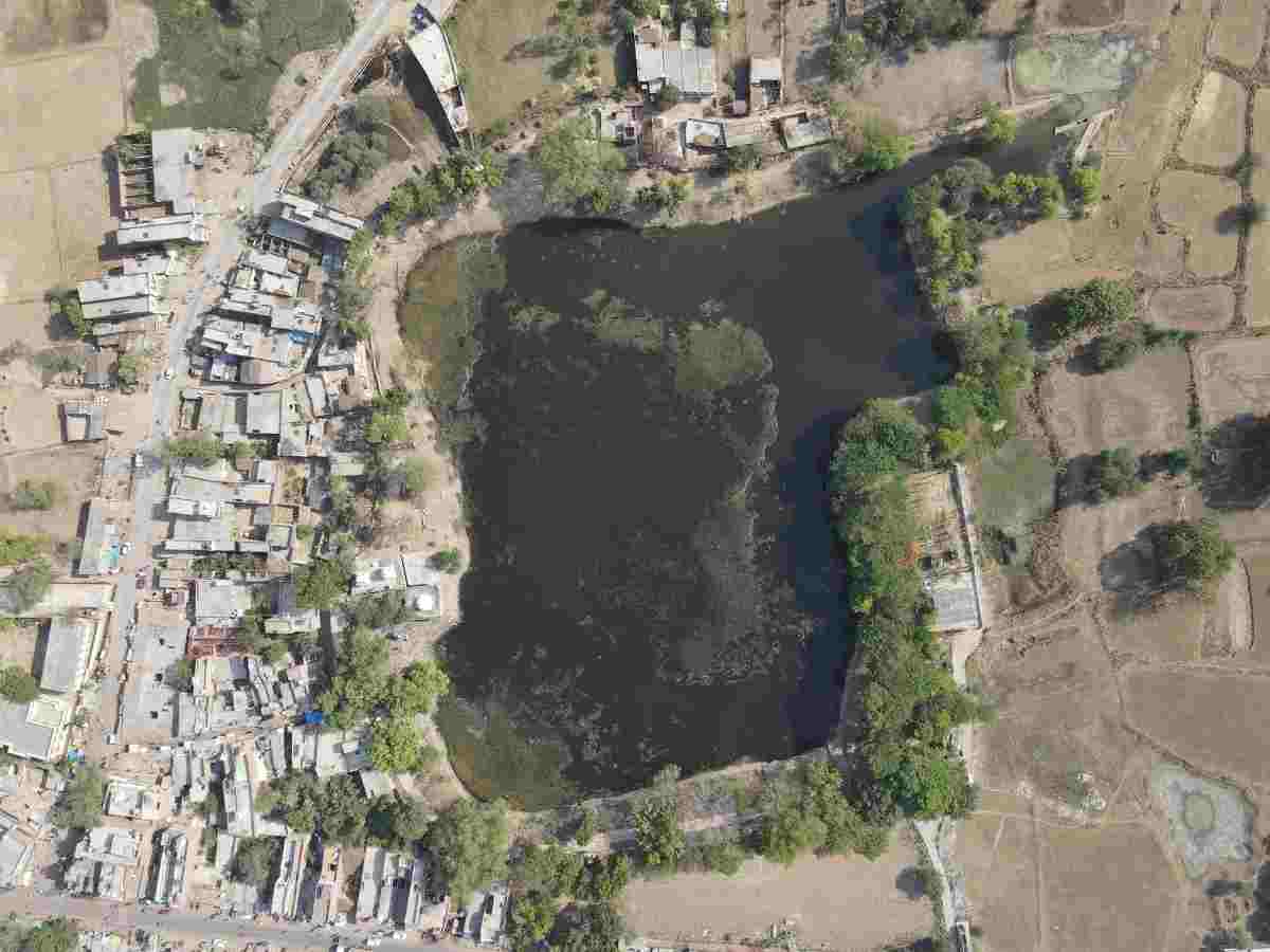
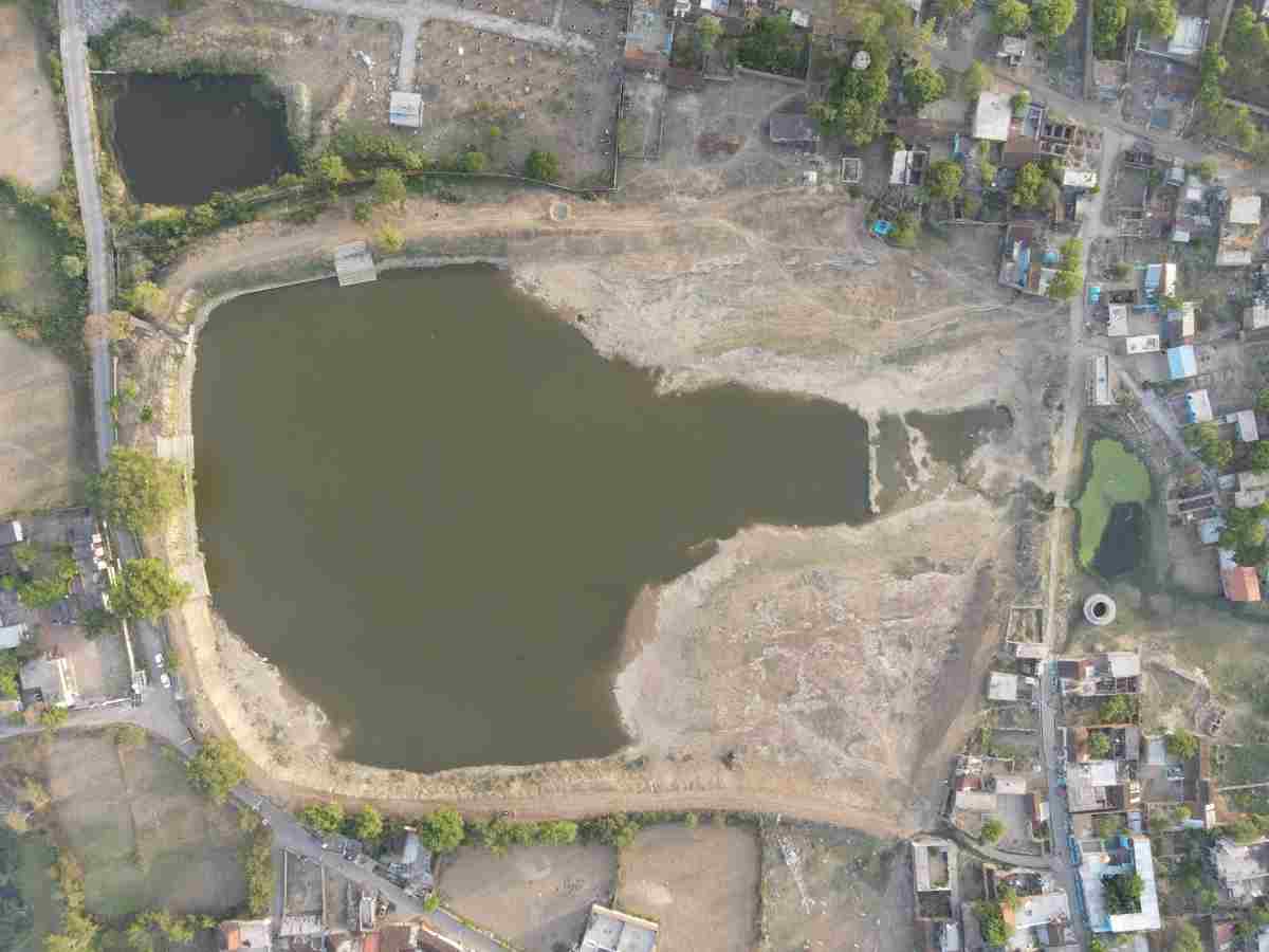
Neelmurti Consultant carried out a detailed Pond Survey and Topographical Mapping Project in Banda and Chitrakoot Districts, Uttar Pradesh using modern survey technologies including Drone Survey, Total Station and ground-based topographical survey techniques.
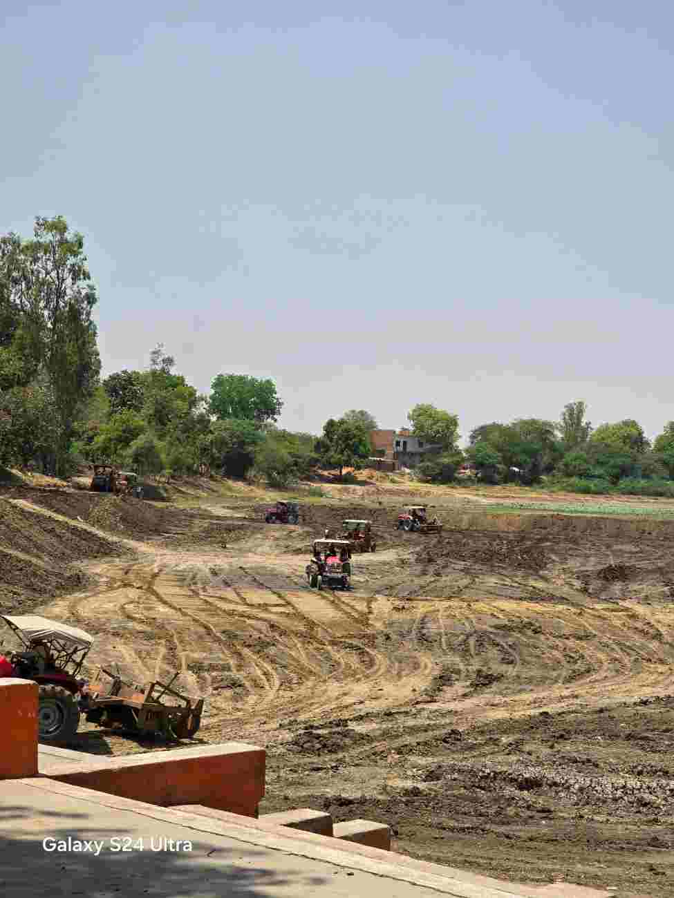
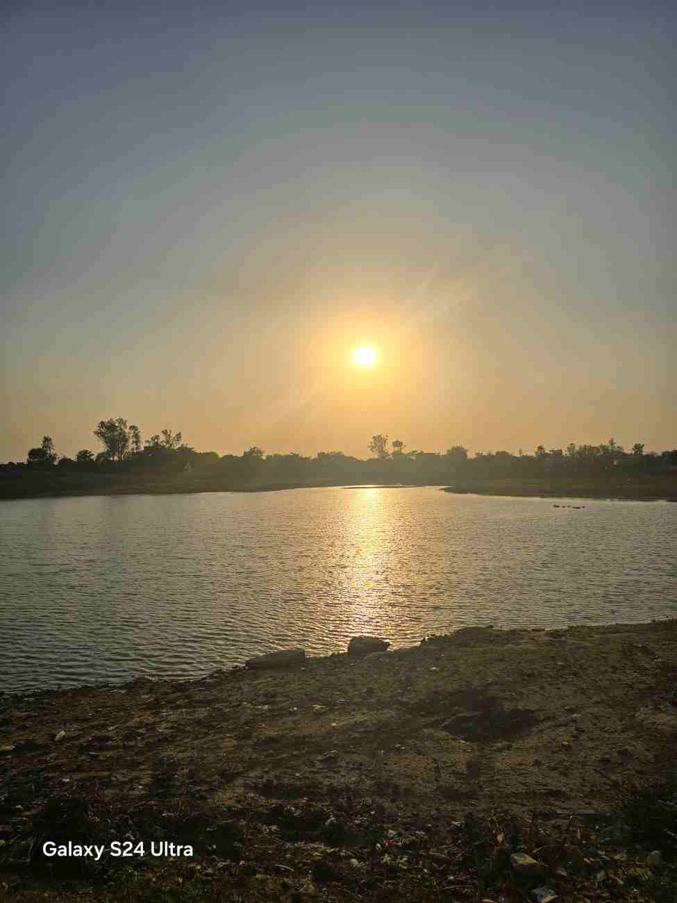
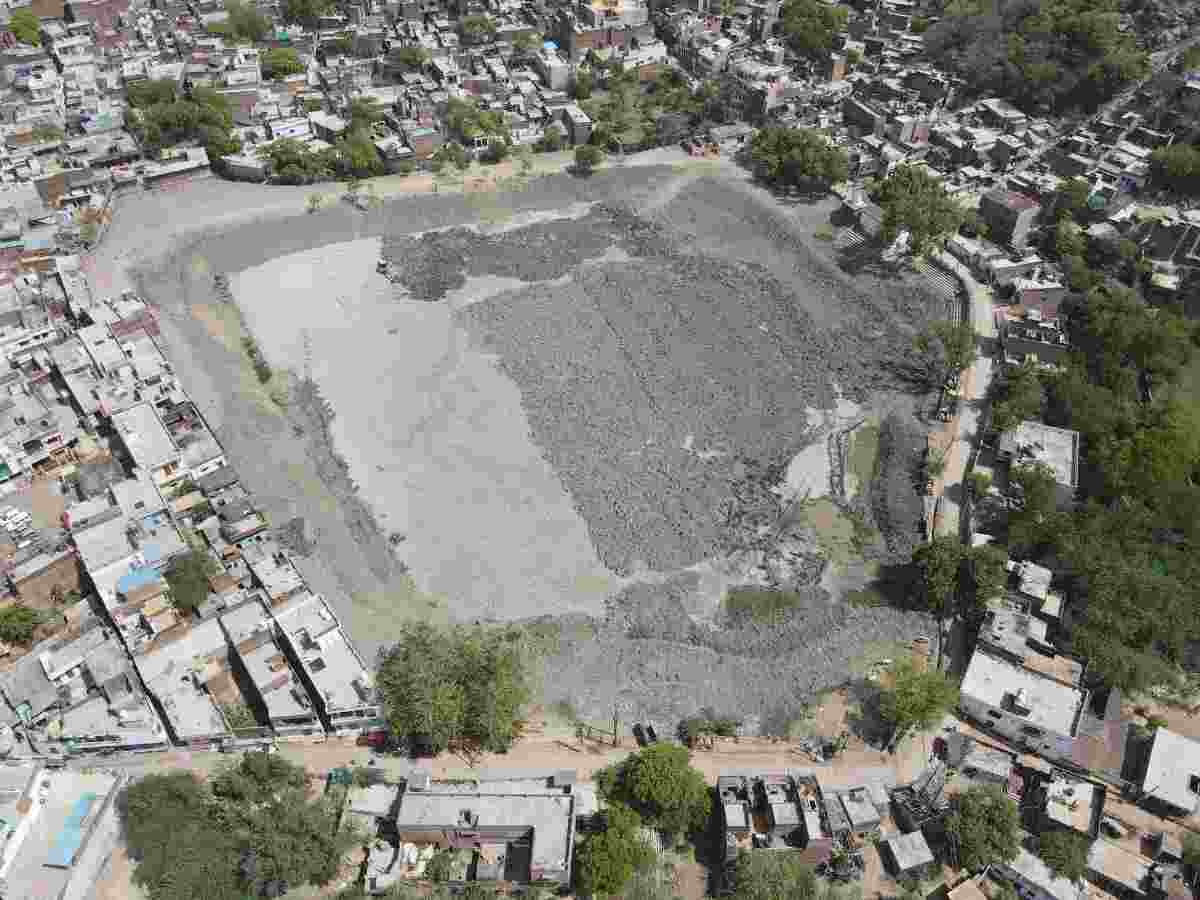
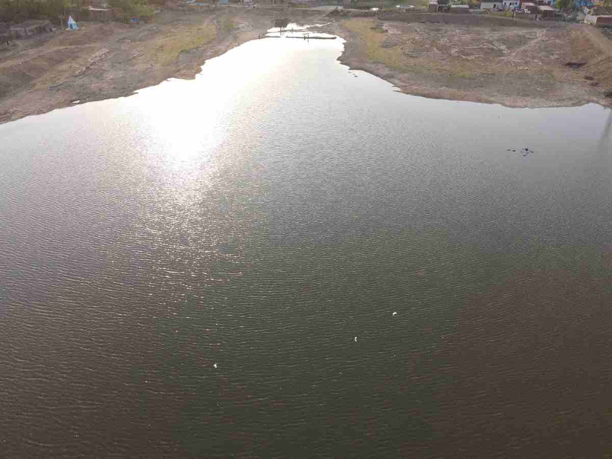
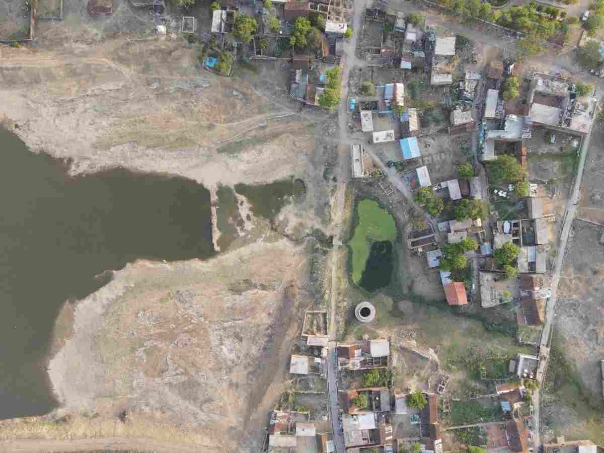
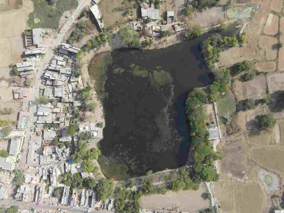
The work included mapping of the existing pond boundary, surrounding features, ground levels, water spread area, site conditions and preparation of accurate survey data for pond restoration, desilting, redevelopment and water conservation planning. Drone aerial imagery was also used to document the site condition before, during and after development works, providing reliable data for planning, monitoring and execution.