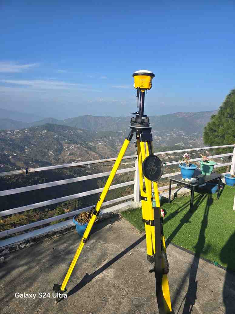
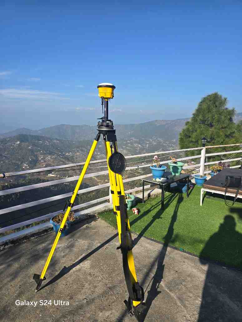
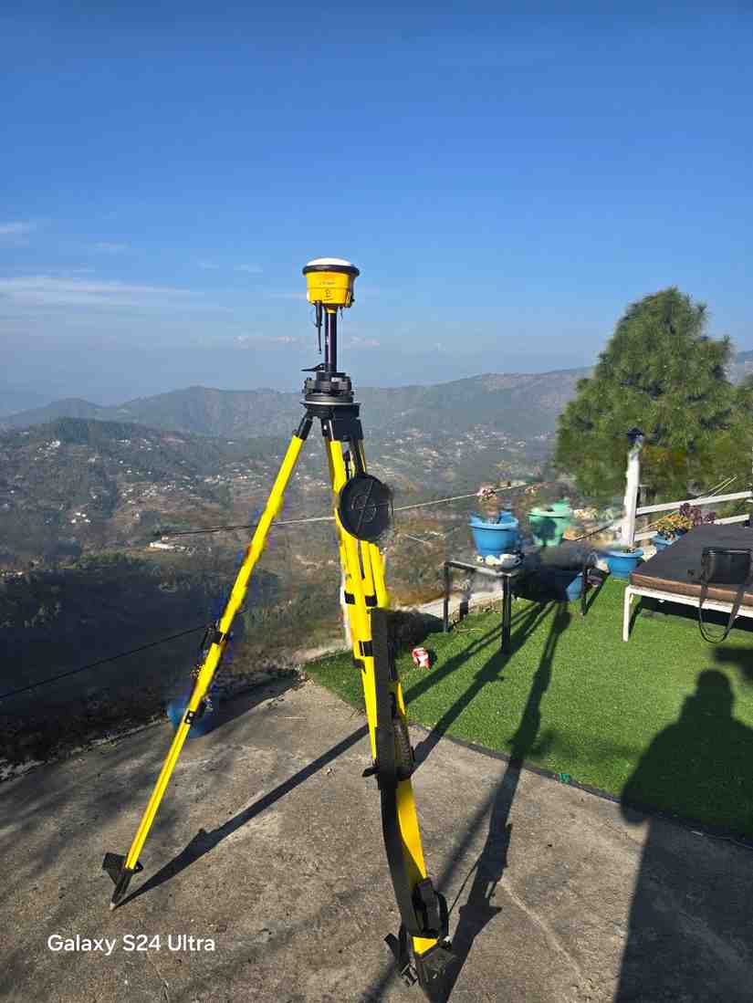
AS-BUILT SURVEY OF WIND CLIFT RESORT Mukteshwar, Uttarakhand DGPS and Drone-Based Topographical Survey, Orthomosaic Mapping and Terrain Modelling
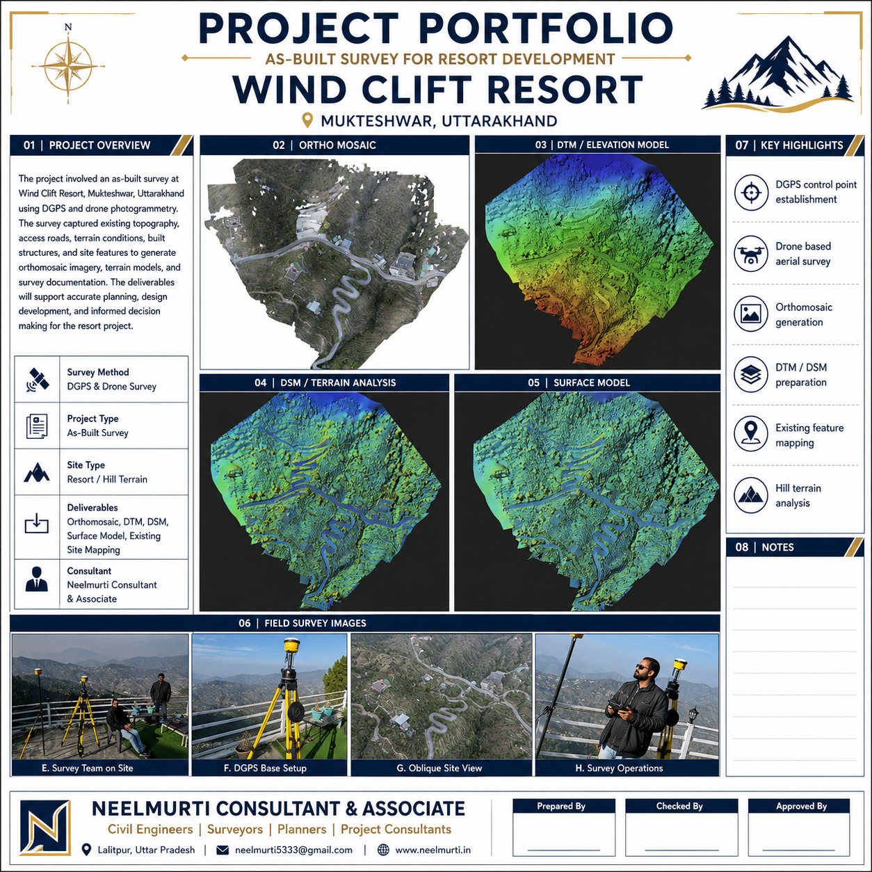
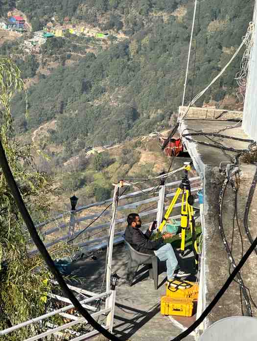
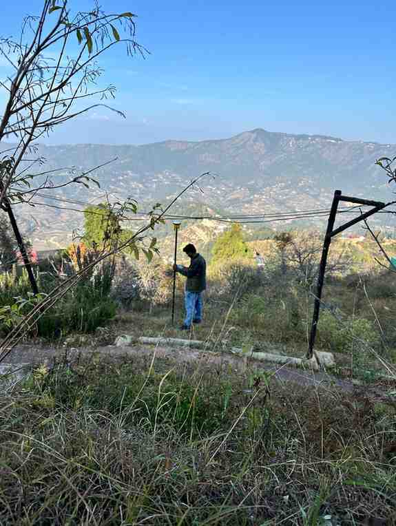
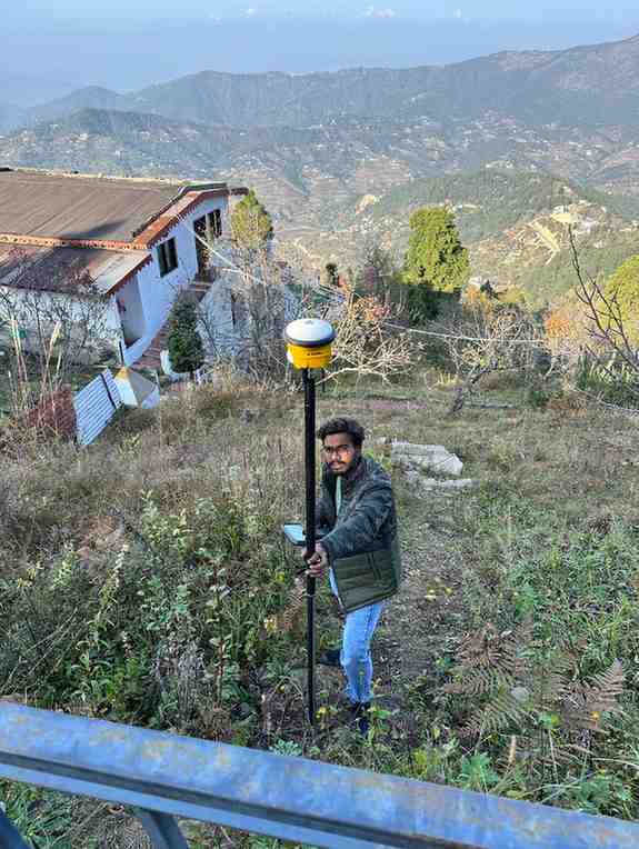
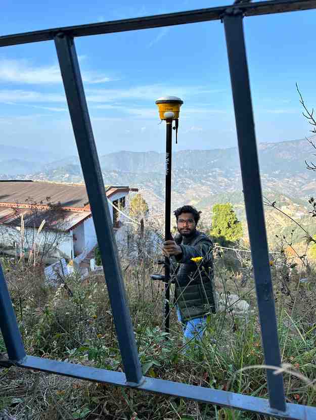
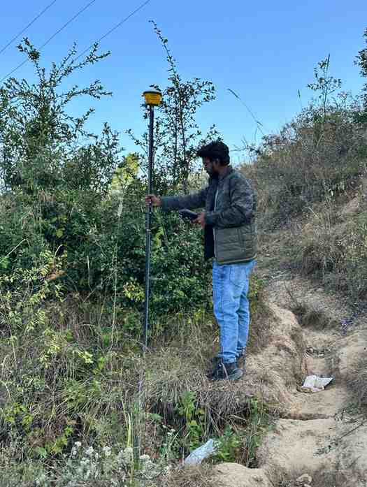
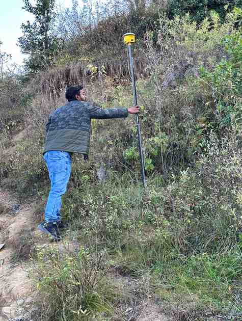
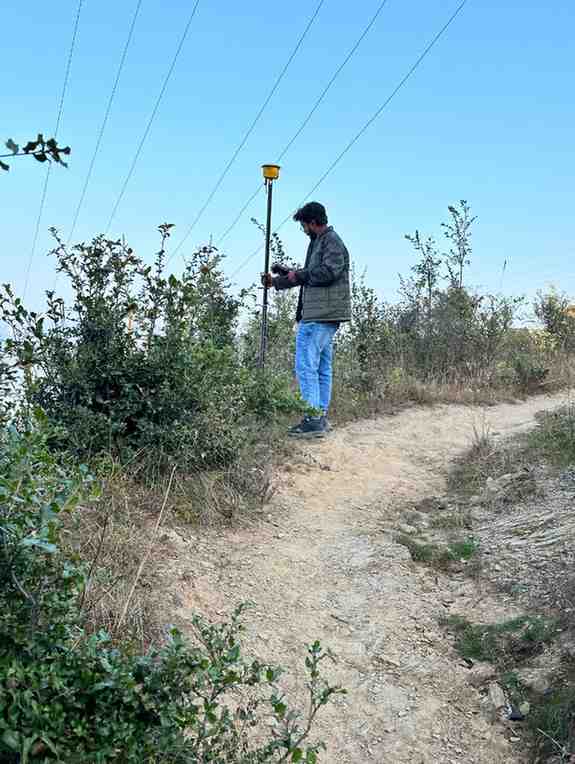
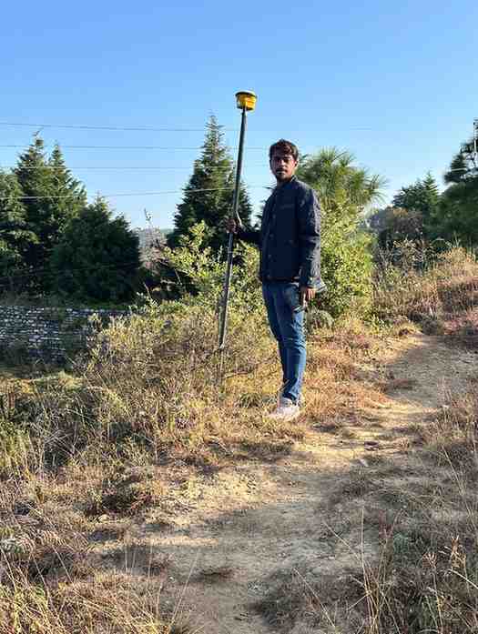
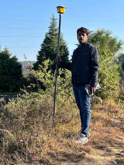
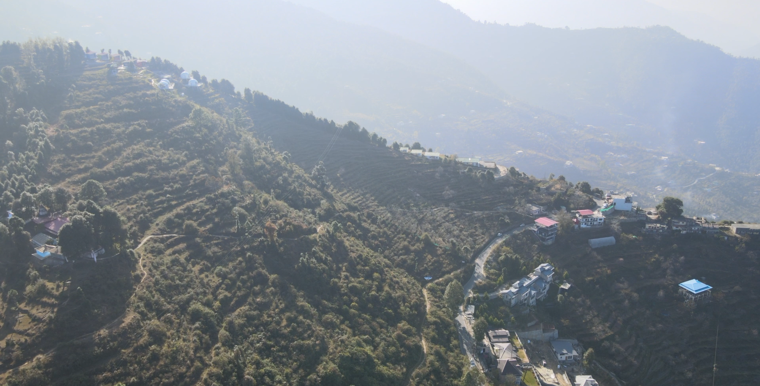
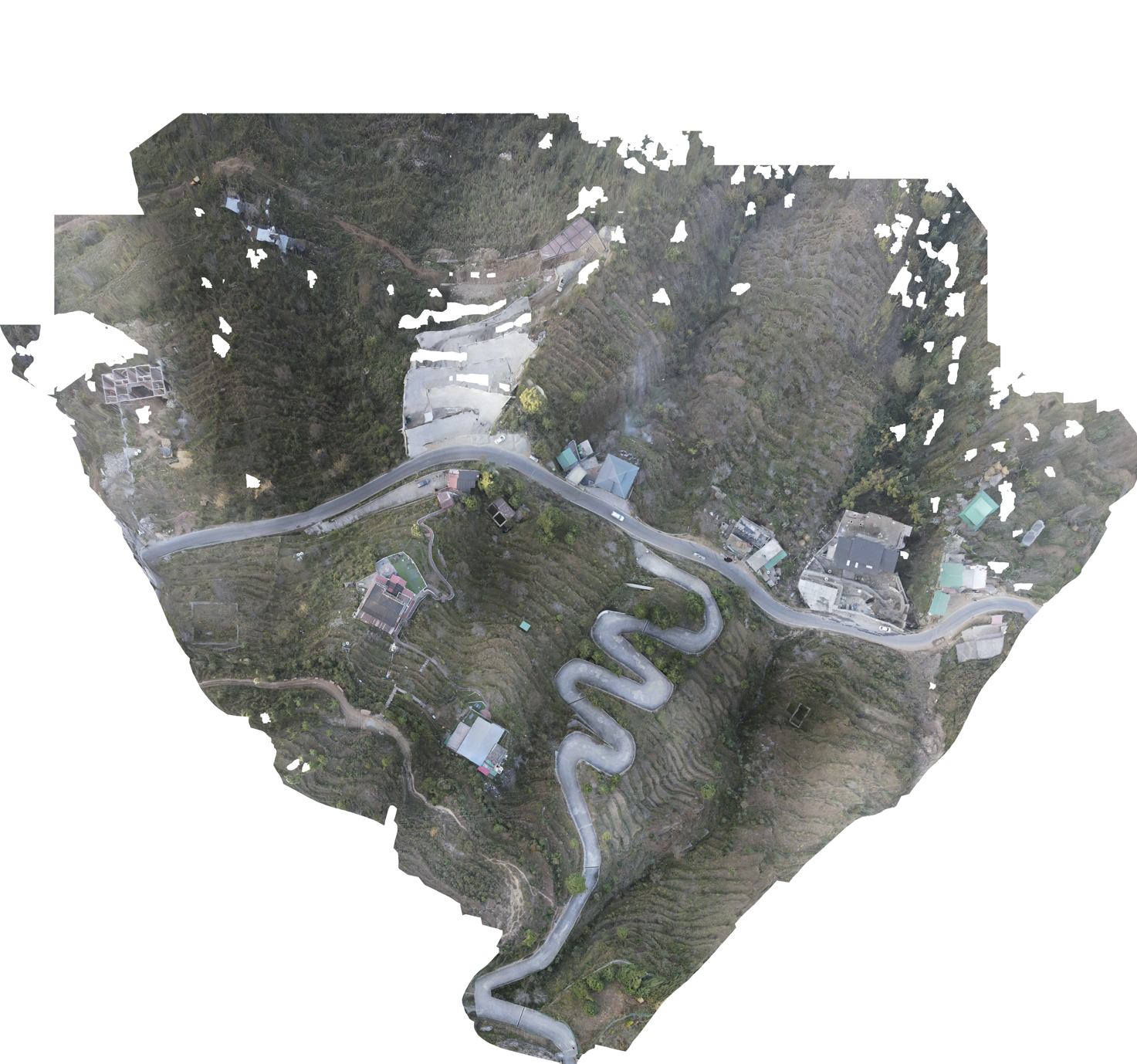
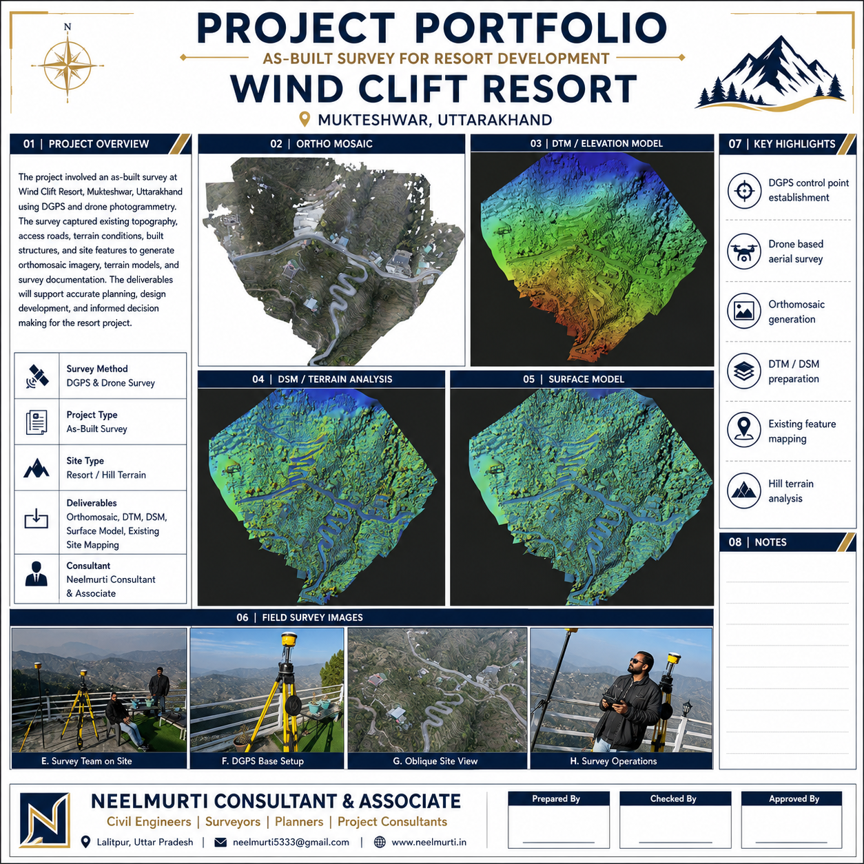
A comprehensive as-built and topographical survey was conducted at Wind Clift Resort, Mukteshwar, Uttarakhand, situated in challenging mountainous terrain. The survey was carried out using high-accuracy DGPS equipment and drone photogrammetry technology to accurately capture the existing ground levels, internal roads, buildings, retaining structures, natural slopes, vegetation and other important site features.
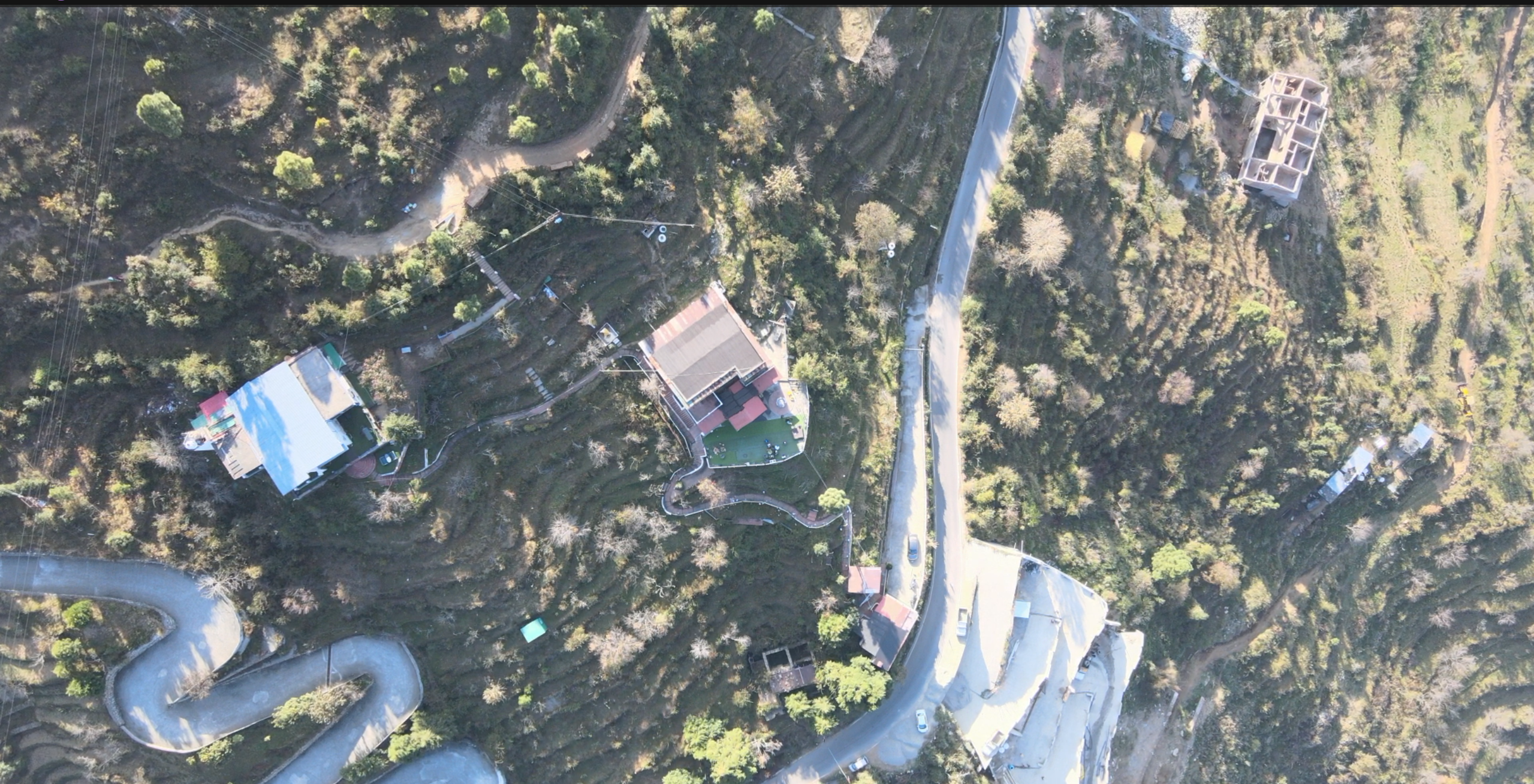
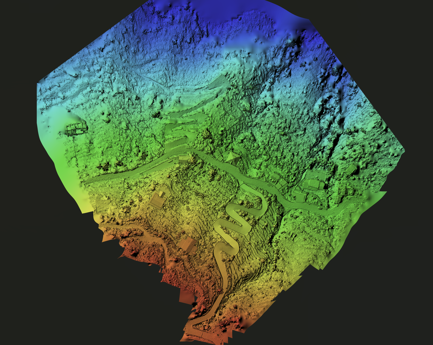
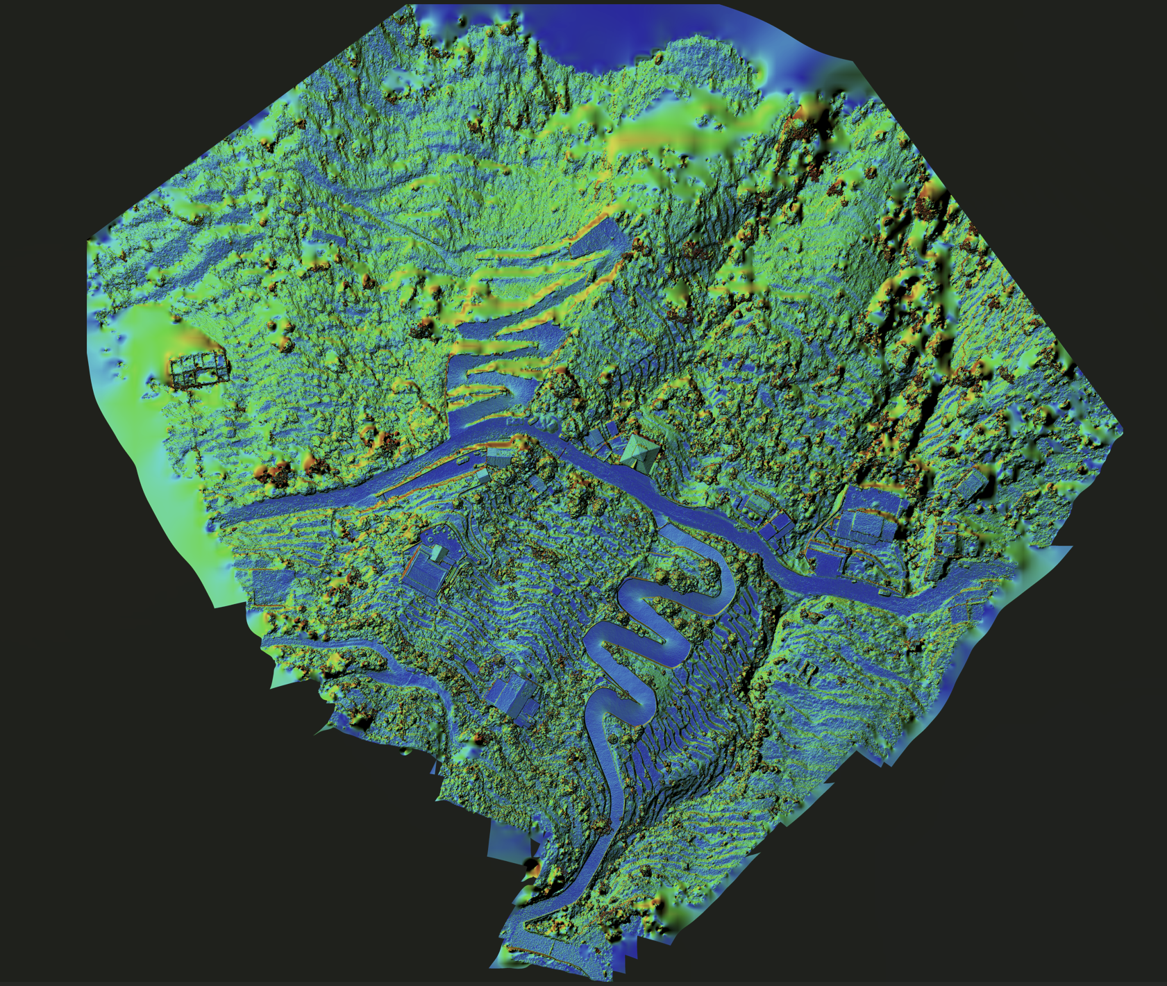
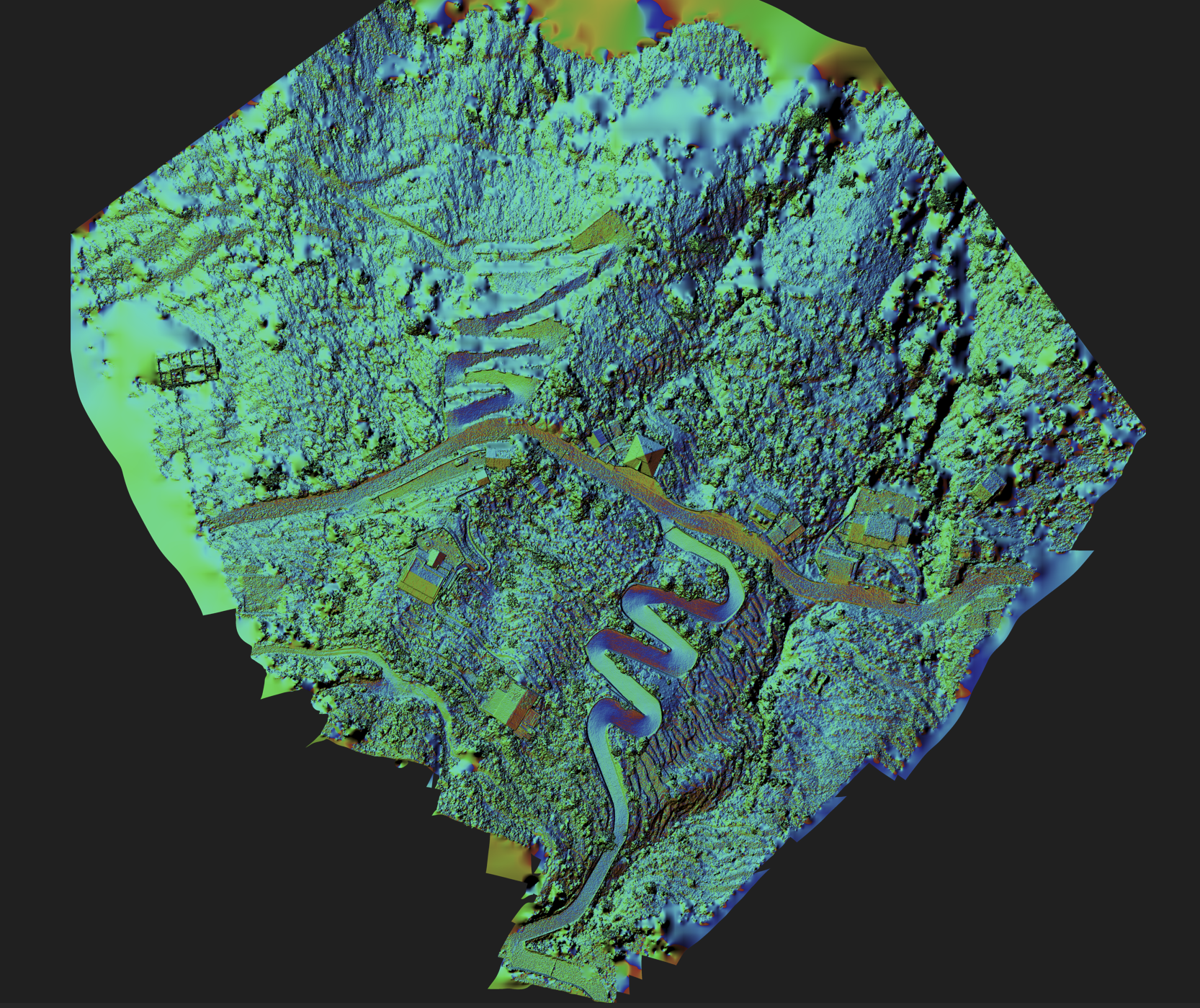
The collected aerial and ground-survey data was processed to generate a detailed orthomosaic map, Digital Terrain Model (DTM), Digital Surface Model (DSM), elevation analysis and 3D surface model. These deliverables provide an accurate representation of the existing site conditions and support future planning, architectural development, infrastructure improvement, drainage design and resort expansion.
Services Provided: DGPS Control Survey | Drone Aerial Survey | As-Built Mapping | Orthomosaic Generation | DTM & DSM Preparation | 3D Surface Modelling | Hill-Terrain Analysis | Existing Feature Mapping